Find my route

De Anhée à Aisemont (Fosses-la-Ville)
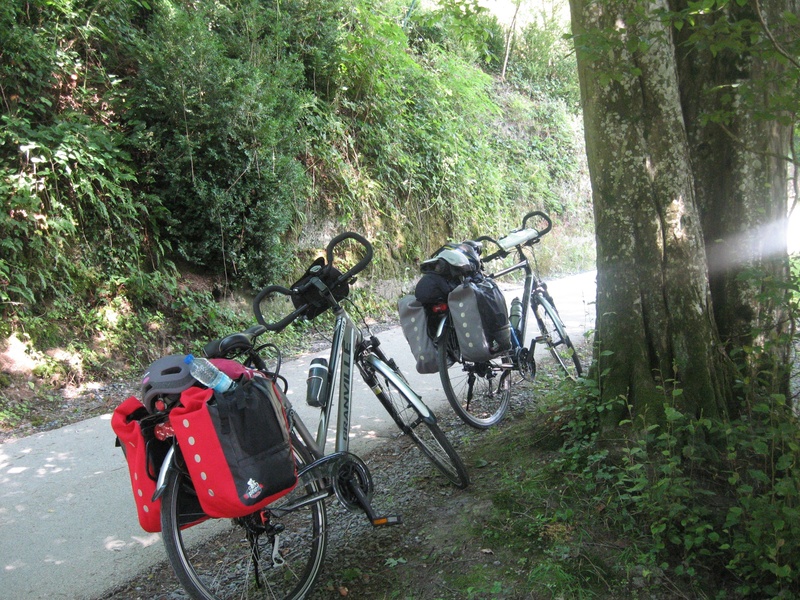
On Line 150

Family
")
34,5 km
This hike takes you from the banks of the Meuse through Mettet, known all over the world for its motorcycle circuit, to Aisemont, near the Sambre valley.
From Anhée, you follow the course of the Molignée river, passing near Haut le Wastia, the site of a major battle in May 1940. You leave behind you the ruins of Montaigle castle. From there, you can follow a loop past Maredsous and the abbey. You pass through Maredret, a village that is home to many craftspeople. You will make your way through pastures, groves and steep-sided valleys and share your route with the railbikes running along the RAVeL.
To end the first part of the stage at your own pace, you reach the plateau on which the commune of Mettet stands proudly. Its history dates back to Gallo-Roman Times and the painter Félicien Rops lies here.
Your walk then takes you through fields and groves towards Fosses-la Ville, the city of the Chinel, a major character in the Belgian folklore. You go alongside Bambois lake, an enchanting spot and the perfect place to recharge your batteries and do some bird-watching. As you go past the old Fosses-la-Ville railway station, don’t hesitate to stop and explore this tourist showcase of the region. Your trip ends on the RAVeL a few kilometres further on at the old Aisemont stop.
If you want to carry on, you can follow a signposted route for about six kilometres which takes you to the connection with the Sambre RAVeL in Tamines. To do this, you need to follow the regional roads N930 and N988. Be very careful, because the traffic between Aisemont and Falisolle is fast and heavy in the centre of Tamines.
Details
The route:
The route follows its own safe path on the RAVeL.
Surface:
Smooth, asphalt.
Height difference:
Imperceptible incline.
Signs:
Full directional signs are in place along the entire route.
Connections:
- In Aisemont, a connecting route leads to the Sambre RAVeL in Tamines. Take care when going along regional roads.
Warnings
Useful info
Start:
Place communale in Anhée.
Coordinates Lambert 72 : X : 186146 m - Y : 111081 m
GPS coordinates: Latitude: 50°18'34.60" N - Longitude: 4°52'34.30" E
Access by Train: Yvoir SNCB railway station.
Access by car: parking nearby.
Rest areas:
There are several rest areas along the way.
Guides/maps:
- RAVeL map of the Province of Namur published by the SPW. This map, called ‘More RAVeL, more pleasure’, can be ordered free of charge by clicking here.
Around the route by bike:
- Nodal-points cycling network of Entre-Sambre-et-Meuse http://www.1000bornesavelo.be
- Cycling and mountain biking in the Molignée valley: http://www.meusemolignee.be/
Stage map