Find my route
Le Tour du Lac de la Plate Taille(stage 2)
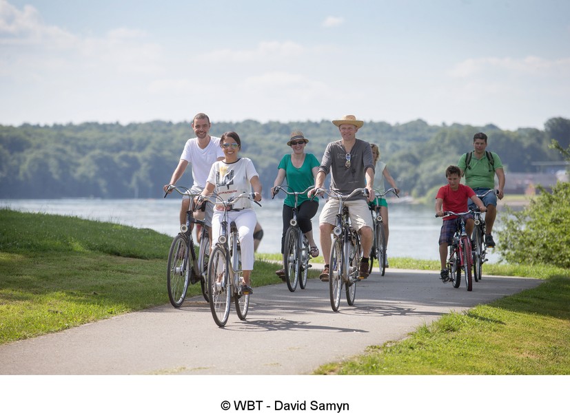
The tour around Plate-Taille lake

Family
")
16,5 km
This 16.5-km tour takes you alongside the most compact, but also the largest lake, Plate-Taille. In addition to a pretty route, it includes 351 hectares as well as a Natura Park (protected area), a water park, a fun space and a sailing club.
Details
The route:
You start on the car park of the reception centre along the main road (N589A).
The RAVeL lies between the shore and the car park. From this point, there’s no fuss. For 14 kilometres you are on a safe, separate path. Definitely! Occasionally you will pass vehicles trying to reach the holiday village, the fun space, the shoreline, etc. We advise you to take the greatest care. And don’t forget the walkers and strollers. This is a leisure area – for everyone!
When you reach the sailing club, take care! The road is open again! When you get to the N589, turn left. Go past the dam and then turn left to return to your starting point.
Surface:
Asphalt (54%) - slabs, clinkers (13%).
Height difference:
Hilly, ascent of 157 metres.
Signs:
Partial. The signs are to be completed shortly.
Warnings
Useful info
Start and finish:
Main road (N589) near the Eau d'Heure lakes reception centre (Plate-Taille dam).
Coordinates Lambert 72 : X : 150992 m - Y : 97928 m
GPS coordinates: Latitude: 50°11'32.91'' N - Longitude: 4°22'57.46'' E
Numerous car parks all along the route.
Rest areas:
There are several rest areas all along the route.
Guides/maps:
- RAVeL map of the Province of Hainaut published by the SPW. This map, called ‘More RAVeL, more pleasure’, can be ordered free of charge by clicking here.
Around the route by bike:
- Hainaut by bike – Hainaut Rando routes https://www.visithainaut.be
Stage map