


Find my route
The various paths followed
In Wallonia, the international, regional and local routes, collectively referred to as ‘cycling routes’ by cyclists, follow several types of paths. Different practices apply on these paths. It is therefore important for users to know these differences.
The RAVeL, ideal for families
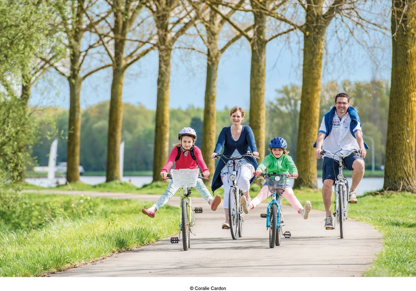
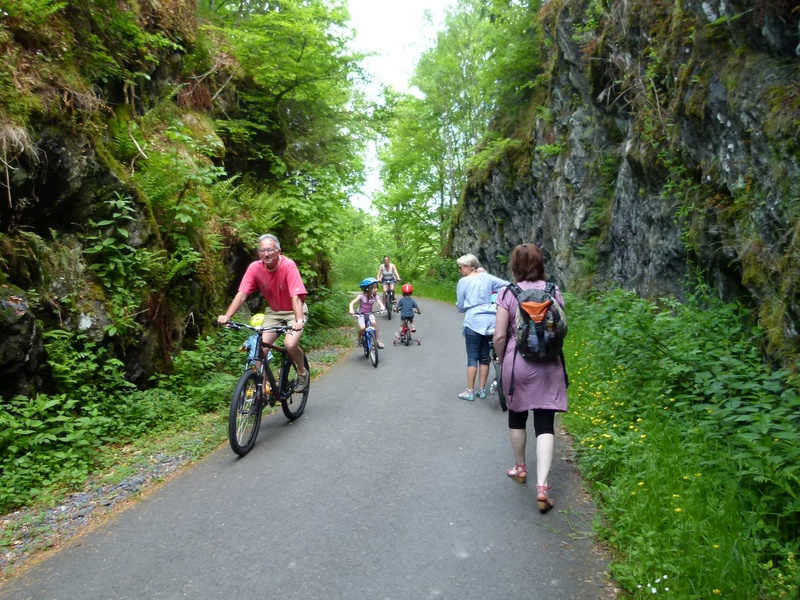
The RAVeL, the Réseau Autonome des Voies Lentes (autonomous network of non-motorised paths) consists of paths intended exclusively for non-motorised users such as walkers, including people with reduced mobility, cyclists, horse riders and roller skaters. The RAVeL is laid out mainly along towpaths and old railway tracks away from automobile traffic, ensuring users of all types safe, comfortable conditions without steep inclines.
The signs opposite indicate respectively the start and end of a path that is part of the RAVeL network. 

Outside Wallonia, the term greenways is usually used to refer to autonomous paths of communication reserved for non-motorised travel.
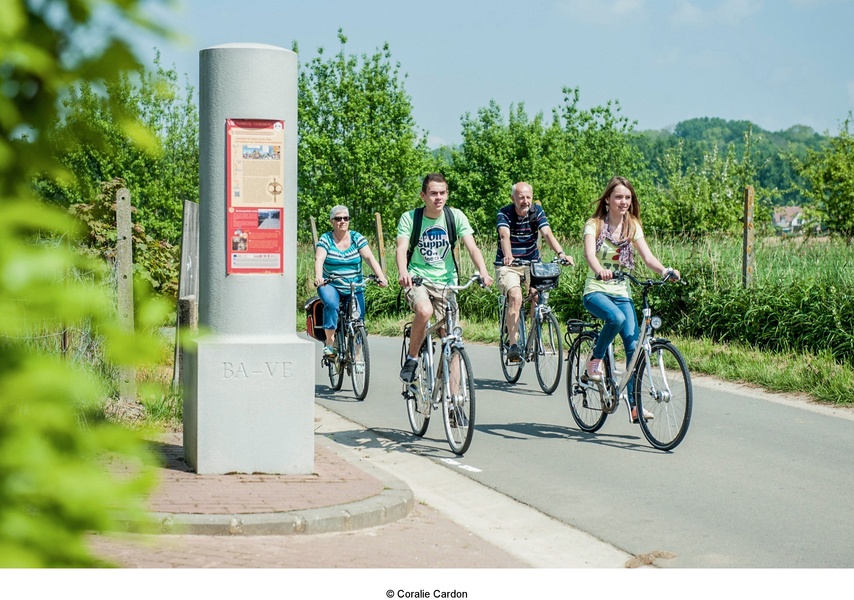
The 1.550 kilometres of pathways that make up the RAVeL are managed by the Administration of the Walloon Region (Walloon Public Service). Supplementing the RAVeL, Wallonia also has many other greenways that are managed by the communes.
See the general map of the RAVeL and greenways in Wallonia in PDF format.
- On the interactive map on this website, the RAVeL and greenways are indicated by a green line.
Connections on shared roads and international and regional cycle routes
The old railway tracks and towpaths along which the RAVeL runs do not always enable uninterrupted routes. To ensure continuity, connections have to be created. As far as possible, these connections follow roads where there is little automobile traffic, where reduced speed limits apply or where cycle paths have been established. When there are no other alternatives, these connections sometimes follow roads with steady traffic, uneven surfaces or steeper inclines. These are intended for experienced cyclists and you will need to remain alert.
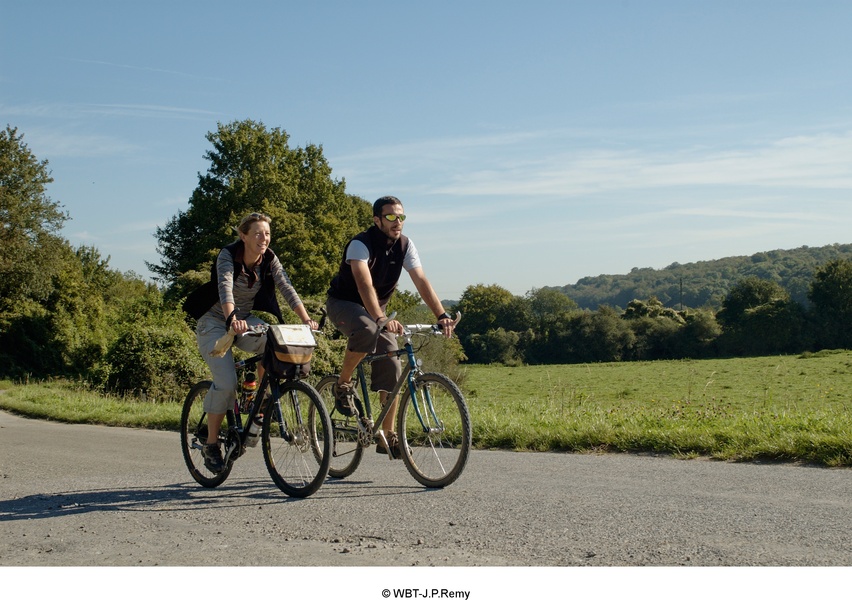
- On the interactive map on this website, the connections with signs and waymarks are indicated by a continuous orange line. If they are not signposted and waymarked, the suggested connections are indicated by a dotted orange line.
The uninterrupted RAVeL and the connections combined create the “routes” (cycling routes). See the general map of international and regional routes in Wallonia in PDF format.
