Find my route
Local routes 50
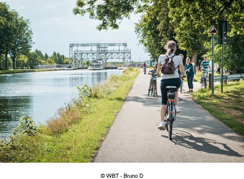
Boucle du Canal du Centre et du Canal du Centre historique
Sur les canaux autour de La Louvière
Imagine five boat lifts, the most recent of which is also the largest in the world, a swing bridge, a 500-metre canal bridge, a floodgate and more.
All this along a loop stretching just under twenty kilometres. This is the loop to which you are invited. On our RAVeL, of course.
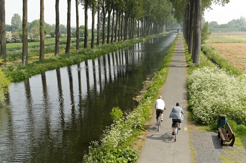
Canal de l'Espierres, Escaut et Ligne 83
De Leers-Nord (Estaimpuis) à Russeignies (Mont-de-l'Enclus)
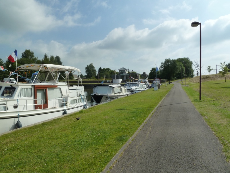
Your journey starts at the Leers-Nord lock. Here you are invited to follow a multi-faceted route. First a canal, then a river and finally an old railway line! Not to mention this peaceful café in the old lock house that you noted at the start! It will be waiting to welcome you when you return from your trip…
Lacs de l'Eau d'Heure
The site of the Eau d’Heure lakes covers a total of 1,800 hectares of forests, bodies of water, grassland and dams, including the largest in Belgium (the Plate-Taille dam). It is also home to trails stretching around a hundred kilometres and 70 kilometres of shorelines. And ‘shorelines’ means RAVeL, too. Here we offer you two routes, both loops.
Ligne 108
De Binche à Erquelinnes
Binche is well known to be the main city of the Gilles, the famous carnival characters. But there is more to this town than paving stones reverberating beneath stamping clogs. It is also a crossroads for soft travel… As well as the W3 regional route, which part of this RAVeL shares, Lines 109A and 109/1 are also to be found nearby.
To join them, Line 108 continues on its way to Fauroeulx and takes you as far as Erquelinnes, the intersection with the Sambre RAVeL and EuroVelo 3. All in an enchanting agricultural setting, including the well-known Agaises vineyard and its Ruffus cuvées.
Ligne 109/2
De Thuin à Chimay
Your route starts in Thuin, in the heart of the Thudinie region and the Sambre valley, where you can admire the hanging gardens or visit the Musée vivant du Tram Vicinal (tram museum). This is a great addition to the RAVeL, which starts just next door on the old Belgian railway line No 109/2. So you’re off for ‘more RAVeL, more pleasure!
Ligne 112
De Fontaine-l'Evêque à Monceau-sur-Sambre
Line 112 plays a prominent role among the small, practical urban RAVeL paths. Here you pass from the commune of Fontaine-l’Evêque to the village of Monceau-sur-Sambre and hence the territory of the city of Charleroi.
Crossing the motorway in total safety, going past a slag heap and joining other RAVeL lines thanks to a connecting path: this is the challenge faced by this short path which was once a link in the railway line connecting Mons, La Louvière and Charleroi.
Ligne 119 - La Houillère
De Gosselies (Charleroi) à Châtelet
‘La Houillère’, the Line 119 RAVeL, is an example for a number of reasons. This is one of the initiatives that led to the creation of the RAVeL as we know it: urban green axis, sustainable development, social action, involvement of various levels of authority. It all comes together to stand out!
The European Greenways Association (EGWA) got it right. In 2002, La Houillère won the European Greenways Award.
Ligne 126
De Ciney à Régissa (Huy)
From Ciney, a small town once fortified and known throughout the world thanks to an abbey beer that bears its name, you take the Line 126 RAVeL through the Condroz.
You leave the Château de Fontaine behind you before crossing Emptinne. Here you are at the heart of the ‘valley of flavours’, where cyclists are welcomed by establishments displaying the ‘Bikes Welcome’ label.
Ligne 127
De Hannut à Huccorgne (Wanze)
You start from Hannut, an important city in the medieval Duchy of Brabant. You follow the RAVeL for a trip through the heart of the Hesbaye. You cross fields of cereal crops and groves, going through Villers-le-Peuplier and Avennes to Braives in the Burdinale-Mehaigne nature park.
Ligne 138
De Châtelet à Gerpinnes
Imagine a château, a march dedicated to Saint-Roch in the Entre-Sambre-et-Meuse region (among the 15 adopted as masterpieces of oral and intangible heritage of humanity). You are in Acoz, a village in the commune of Gerpinnes whose name (alone!) is now linked to the Belgian royal family.
Through meadows and undergrowth, you will reach the centre of Gerpinnes along a short stretch of the Line 138 RAVeL, brought back to life to the great delight of walkers.
Ligne 141
De Seneffe à Court-Saint-Etienne
Starting in the commune of Seneffe, in the province of Hainaut, this route takes you along the Line 141 pre-RAVeL and RAVeL through the centre of the province of Walloon Brabant. It is often wooded, but through openings in the trees you can admire the vast stretches of the surrounding countryside.
Ligne 142
De Jodoigne à Namur
You start your hike in Jodoigne, an old medieval city, whose Saint-Médard church, an architectural jewel of the city, dates back to the 12th century. You carry on in peace and quiet towards Ramillies and Eghezée, passing Hesbaye farms, chapels and ‘potales’ or niches containing a religious statue.
Ligne 147
De Sombreffe à Lincent
The landscapes you cross cover vast areas of low, even farmland marked here and there by imposing Brabant farms.
There are virtually no items of industrial heritage to be seen along the entire route. A few sparse buildings, such as Ramillies railway station in the place known as ‘Croix de Hesbaye’ or Racour railway station bear witness to the important role played by railways at the time when everything went by train.
Ligne 150 (A)
De Anhée à Aisemont (Fosses-la-Ville)
This hike takes you from the banks of the Meuse through Mettet, known all over the world for its motorcycle circuit, to Aisemont, near the Sambre valley.
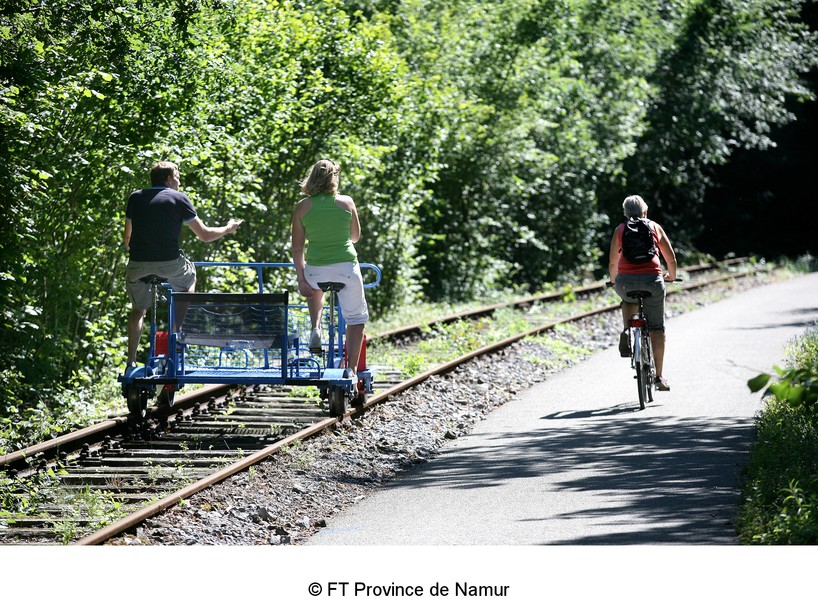
From Anhée, you follow the course of the Molignée river, passing near Haut le Wastia, the site of a major battle in May 1940. You leave behind you the ruins of Montaigle castle. From there, you can follow a loop past Maredsous and the abbey. You pass through Maredret, a village that is home to many craftspeople. You will make your way through pastures, groves and steep-sided valleys and share your route with the railbikes running along the RAVeL.
Ligne 150 (B)
De Houyet à Jemelle (Rochefort)
Your guiding thread along this route is La Lesse, a winding river which has hollowed out a valley that is remarkable for more than one reason. From Houyet, you will cross this river several times. You penetrate right into the bowels of the rock through the Hour tunnel, which is over 400 metres long. You explore the Collyre path in the state-owned forest of Ciergnon, at the foot of the Château Royal.
Ligne 155
De Saint-Mard (Virton) à Croix-Rouge
Your trip in the heart of the Gaume Lorraine starts in the village of Saint-Mard, a land of basket makers and railway workers attached to its big sister, Virton. Following the RAVeL, after a few kilometres you will cross the small town of Ethe, known as early as the Middle Ages for having the right to ‘strike coins’.
Ligne 156
Entre Oise et Meuse – D’une frontière française à l’autre
RAVeL Line 156 has some pleasant surprises in store : forests, bocages, the Fagnes or fens, an open-air museum, the castle of the Princes of Chimay, a pretty tourist train in three valleys, a river, nature reserves and, of course, gourmet and brewing specialities in which this region abounds. Just the place for pleasant, unforgettable outings with friends.
Ligne 163
De Gouvy à Libramont
The route is set out entirely along the old No 163 railway line, where folklore and delicious local produce with the smells of salted goods nestle in the heart of the region's valleys. You go deeper into this green lung, the Belgian Ardennes, in peace and quiet and in total safety. First of all, you cross through thick forests of deciduous and evergreen trees.
Ligne 164
De Bastogne à Wiltz (L)
This superb trip starting in Bastogne and alternating between woods and meadows, rural areas and deep valleys invites you to make your way along the Wiltz, a water course with a variety of faces, now wild torrent, now quieter river with a multitude of small bridges and wooden walkways.
Ligne 165A
De Sainte-Cécile (Florenville) à Muno
You travel in the heart of the Pays de la Semois, one of the most beautiful regions in Belgium, along a virtually straight RAVeL. From Sainte-Cécile, you cross a wide wooded expanse, home to game that could surprise you as you go through a grove. If so, make the most of this magical moment when you commune with nature.
Ligne 422
De Saint-Vaast (La Louvière) à Battignies (Binche)
This very endearing route takes you to two different worlds. Line 422 is a link between two leading Hainaut cities. Two cities that differ in their heritage, their architecture and their character. On the one hand, Binche, daughter of the Middle Ages, and on the other La Louvière, daughter of the Industrial Revolution.
Ligne 44A
De Spa à Stavelot
This is just the kind of route we love: interconnection of the Belgian, Luxembourg and ‘Prussian’ networks where the history and nature of the Ardennes are omnipresent. Sports enthusiasts are catered for, too, because this RAVeL runs alongside ‘the world’s most beautiful circuit’ in Francorchamps and crosses one of the biggest hills along the Liège-Bastogne-Liège cycle race.
All to reach Stavelot, former city of the principality, shaped by the Mosan Carnival and the Blancs Moussis, white-caped folkloric characters.
Ligne 47A
De Vielsalm à Born (Amel)
Soon in English.
De la cité des « macrales », sordides sorcières, au viaduc de Born et ses treize arches, l'itinéraire se trouve en majeure partie sur le tracé de l'ancienne ligne de chemin de fer n°47A. Ce parcours varié vous hissera sans douleur vers cet axe devenu au fil des ans mythique.
Ligne 48 - Vennbahn
De Raeren à Sankt-Vith/Saint-Vith
This route leads you through superb, undulating landscapes where the gradients are mainly more gentle than you may have expected (max. 2%). This is the advantage of travelling safely along the RAVeL made up of the old railway line No 48 with its viaducts built of local stone and its new metal footbridges.
Ligne 518
De Neupont (Wellin) à Porcheresse (Daverdisse)
From this route, you follow the Lesse, a serene, enchanting river that invites you to soak your feet for a moment.
From Halma, you cross woods and countryside where the numerous picnic areas tempt you to rest and listen to the lapping water. You reach the place called Le Moulin de Daverdisse, a splendid, typical Ardennes building.
Ligne 523
De Olloy-sur-Viroin (Viroinval) à Oignies-en-Thiérache
Not far from France, starting in Olloy-sur-Viroin, formerly protected by a Gallic oppidum, you set out along an old local railway line converted to form a RAVeL through the dense Nismes forest of deciduous and coniferous trees.
Ligne 618
De Assenois (Vaux-sur-Sûre) à Martelange
This route follows the old local railway line 618, now set out as a pre-RAVeL path between Assenois, the Strange lakes in Hompré and Martelange. You cross through many villages in the Pays de Bastogne region, in the peaceful, idyllic setting of the Strange and the Sûre valleys. Set largely in a Natura 2000 protected area, the surrounding countryside literally invites you to dawdle. Once you reach Martelange, you may decide to continue on towards Redange and Luxembourg city on the cycling routes network of the Grand Duchy.
Ligne 69A et la Lys
Boucle de Comines-Warneton
The RAVeL of the Line 69A and La Lys, a small piece of Wallonia between France and Flanders, a small loop between river and railway line... This route shows you the different aspects of the RAVeL. If you wish, you can then prolong the pleasure along La Lys greenway in France or the nodal-points network in Flanders.
Ligne 78A
De Blaton à Bernissart
This is one of those short lines which would nevertheless explain a great deal.
From Blaton, you skim through the complex canal crossings. You go past the Grande Bruyère sandpit. You have a view that is not to be missed over the region and the Marais d’Harchies with its remarkable Natura 2000 protected area. You think of iguanodons, the local stars following the discovery of iguanodon skeletons here back in 1878, as you head towards Bernissart and its old railway station, the end (already!) of this trip.
Ligne 86
De Moustier (Frasnes-lez-Anvaing) à Basècles (Beloeil)
This trip takes you from Leuze-en-Hainaut, an old hosiery city and world-famous brewing centre, to Basècles, a quarrying centre known in particular for its black marble.
This was all it took for a railway line to link the two cities. Line No 86, which was later to become a RAVeL path …. and which we are now recommending to you. It takes you along a route that is rural, sporty and modern, through fields and pastures.
Ligne 87 - RAVeL du Pays des Collines
De Ellezelles à Lessines
The RAVeL along the old railway line No 87 crosses the Pays des Collines nature reserve. Keep your eyes wide open. Buzzards, hawks, falcons and kestrels fly overhead in search of small rodents for their daily meal.
Ligne 88 et Haut-Escaut
Boucle de Antoing - Bléharies (Brunehaut)
Although the W4 regional route goes through here and runs alongside canals for much of the time from Péronnes onwards, the point where the Scheldt enters Belgium from Bléharies should not be forgotten. So we would like to present a small loop of the RAVeL along this river and a pleasant little line, No 88.
Ligne 92
A Péruwelz
Line 92 starts not far from Péruwelz railway station and heads towards the French border. It will shortly enable everyone to join the Gueules noires greenway in France, going towards Condé-sur-Escaut.
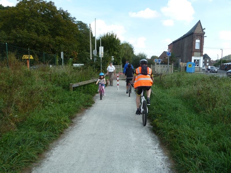
The first part of the route lies in an urban area and is widely used by children, enabling them to get to school in total safety. For that matter, this may be the best contribution a RAVeL can make. Further on, the route follows a more winding path through woods and meadows.
Lignes 109a et 109/1
De Estinnes-au-Mont à Thuin
The Line 109A RAVeL seems to be with us for only a short stretch. And yet it is an important link because, ultimately, it will connect the Mons region and the Borinage with Thudinie and the Sambre valley as far as the Botte du Hainaut. And that’s only fitting, because a series of lines join up with this route that now delight RAVeL fans. It gives access to Line 108 to Binche or Erquelinnes, and to Line 109/1 to Lobbes and Thuin.
Lignes 112A et 266
De Souvret (Courcelles) à Roux
This stretch carries on towards the west of the La Houillère RAVeL (Line 119), which it joins on the bridge over the Charleroi-Brussels canal in Roux.
It will help us - a little - to overcome the industrial image of the Black Country. Of course, we are not going to ignore the slag heaps, unmistakable reminders of this region’s mining past, or the urban side of our sections of the RAVeL in Charleroi, but… starting from the village of Souvret means starting our trip in the countryside, and that’s rather soothing, isn’t it?
Lignes 31, 210 et 212
De Liers (Herstal) à Saint-Nicolas (Terril du Gosson)
We invite you here to an urban RAVeL. This in fact consists of several lines combined, which cover a total of about ten kilometres…
Urban? You said urban? That’s right, you go to the gates of Liège crossing through Liers, Rocourt, Ans and Montegnée, marked by densely populated areas and in some communes, a significant industrial presence. But here the surroundings are green and airy, away from the noise of the city. The path is used for everyday travel to schools, leisure centres and shops or to reach an island in the countryside and then Liège via the Meuse valley.
This is one of the most interesting sites in the region in terms of both its plant life and the animals found here. A visit to the Maison des Terrils or slag heaps centre (slag heap No 1), rue Chantraine, is a good way to approach the site.
Lignes 38 et 39
Des Trois Frontières (Plombières) à Chênée (Liège)
Linking the Three Borders Site (Belgium, The Netherlands, Germany) to the city of Liège, Lines 38 and 39 take you explore the bocages of the Pays de Herve region in a bright, green setting. The landscape can be admired and appreciated from numerous beauty spots along one of the oldest, mythical sections of the RAVeL
Discover the video of Lines RAVeL 38 and 39, the best european greenway 2021 !
Lignes 39 et 39B
De Welkenraedt à Gemmenich, en passant par Kelmis (La Calamine)
Soon in English.
Au départ de la gare de Welkenraedt, vous partez à la découverte de l'envoutante vallée de la Gueule.
La vallée de la Gueule fait partie intégrante du parc des Trois Frontières (Belgique, Allemagne, Pays-Bas). Ce terroir est bien connu au-delà de ses propres limites pour la beauté de ses villages, fermes, châteaux et paysages, ainsi que pour la richesse de ses milieux naturels, comme le Site Minier de Plombières. La vaste réserve naturelle de la Vallée de la Gueule présente une grande diversité d’habitats et constitue un véritable havre de paix pour une multitude d’espèces animales et végétales.
Lignes 43 et 620
De Marche-en-Famenne à Erezée
Starting from Marche, capital of the Famenne region and a favourite spot for cyclists with 350 km of waymarked roads dedicated to bikes, you first follow the RAVeL and a connecting cycle path that takes you to Hotton.
Lignes 45 et 45A
De Trois-Ponts à Losheimergraben (Büllingen/Bullange)
This path running from west to east takes us through much of the old part of the Principality of Stavelot-Malmedy. The route is a fine example of the diversity of Wallonia and a great way to enter the East Cantons and visit the youngest area of Belgium.
Lignes 47 et 46
De Sankt-Vith/Saint-Vith à Steinebrück (Saint-Vith) et Lengeler (Burg-Reuland)
From Sankt-Vith/Saint-Vith to Steinebrück (Saint-Vith) and Lengeler (Burg-Reuland)
This path takes you through superb, undulating landscapes where, most of the way, the gradients are more gentle than you may have expected (max. 2%). This is the advantage of travelling safely along the RAVeL made up of the old railway lines No 47 and 46, with their viaducts and tunnels.
You will appreciate our delightful German-speaking region, characterised here by the forests and bocages of the Our valley in the communes of Saint-Vith/Sankt-Vith and Burg-Reuland.
Lignes 613 et 163
De Houffalize à Bastogne
As soon as you leave Houffalize, you enter not only the historical centre of the Battle of the Bulge but also a region dedicated to cycling. This region brimming with history, acknowledged as the capital of mountain biking, will astound you with its deep valleys and mountain atmosphere. You penetrate deep into the green lung of the Belgian Ardennes in total safety on the RAVeL.
You cross dense forest of deciduous and evergreen trees as well as high farming plateaux on your way to Bourcy, a quiet village lying at an altitude of 500 metres.
Lignes 98 du Borinage
De Mons à Quiévrain et aux Honnelles
The Borinage retains links to a prestigious industrial past which created wealth in Europe. As a result, many small railway tracks were built here and used to carry the workforce and the coal. These lines, converted into RAVeL paths, are now open to you.
Ourthe
De Angleur (Liège) à Hamoir ou De Bomal à la Barrière de Petit-Han (Durbuy)
As well as a beautiful natural landscape of great geological and heritage value, the Ourthe valley offers you the opportunity, starting from Liège, to explore the remains of its old canal and its locks, as well as a typical and often well-restored habitat that bears witness to a human past of quality. The further south you go, the more the forests and picturesque villages tempt you to daydream, enveloping yourself in ancestral legends. You end your journey in Durbuy, famous as the world’s smallest town.
Tour du Lac d'Eupen
Entre Barrage et Osthertogenwald
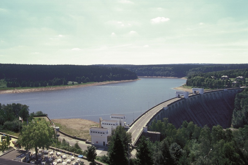
Your walk is a loop in the heart of the superb Hertongenwald, on the slopes of the East Cantons of Wallonia. The path leads around the artificial lake created following the construction of a dam 63 metres high across the river Vesdre in the 1940s. The grandiose landscapes and outstanding view over the lake on one side and the narrow Langesthal valley on the other side will delight you.
Tour du Lac de la Gileppe
Entre Barrage et Westhertogenwald
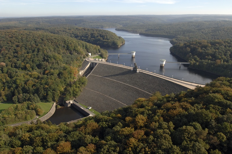
You are invited to take a trip through the forested area of Hertongenwald, known in French as the ‘forêt des Ducs’, on the slopes of the East Cantons of Belgium. The path around the artificial lake created when the dam was built between 1875 and 1878 reveals a landscape of softwood and deciduous trees. The views over the steep-sided valleys, the setting for many streams from the Fens plateau, will delight those who love peaceful atmospheres.
Tour du Lac du Ry de Rome
Entre Barrage et Bois de Pétigny
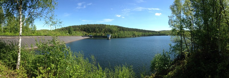
Your trip follows a loop in the restful, enchanting setting of the Ardennes massif where you can admire the plant life of the area. While wandering peacefully along the RAVeL, you discover the three rivers that feed the lake - the Ry de l'Hermitage, the Ry de Rome and the Ry des Serpents. Several rest areas set out around the lake provide an opportunity to observe the aquatic life along the edge of this tranquil spot.
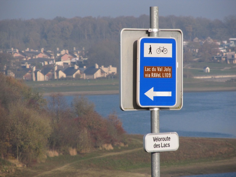
Véloroute des Lacs
Des Lacs de l'Eau d'Heure au Lac du Val Joly (F)
Your trip starts on the edge of Plate Taille lake, a favourite place of water sports enthusiasts, not far from Cerfontaine. You follow a waymarked cycling connection to explore the Botte du Hainaut along quiet, narrow roads. You cross pastureland interspersed with magnificent forests to Froidchapelle, a charming commune that has succeeded in maintaining its rural character over the years.


