Find my route
De Fontaine-l'Evêque à Monceau-sur-Sambre
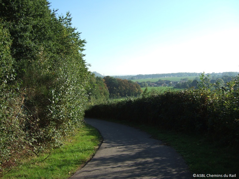
On the Line 112 RAVeL

Family
")
4,5 km
Line 112 plays a prominent role among the small, practical urban RAVeL paths. Here you pass from the commune of Fontaine-l’Evêque to the village of Monceau-sur-Sambre and hence the territory of the city of Charleroi.
Crossing the motorway in total safety, going past a slag heap and joining other RAVeL lines thanks to a connecting path: this is the challenge faced by this short path which was once a link in the railway line connecting Mons, La Louvière and Charleroi.
Details
The route:
The route follows its own safe path along the Line 112 RAVeL.
Surface:
Smooth (mostly asphalt).
Height difference:
Flat or imperceptible incline.
Signs:
Full directional signs are in place along the entire route.
Warnings
Useful info
Starting point:
Rue de la Sarthe in Fontaine-l'Evêque.
Coordinates Lambert 72 : X : 148116 m - Y : 122318 m
GPS coordinates: Latitude: 50°24'42.30'' N - Longitude: 4°20'32.05'' E
Car access: parking nearby.
Arrival point :
Rue Fosse du Bois in Monceau-sur-Sambre
Coordinates Lambert 72 : X : 149650 m - Y : 124138 m
GPS coordinates: Latitude: 50°25'41.21'' N - Longitude: 4°21'49.74'' E
Guides / maps :
- RAVeL map of the Province of Hainaut published by the SPW. This map, called ‘More RAVeL, more pleasure, can be ordered free of charge by clicking here.
Around the route by bike:
- Hainaut by bike – Hainaut Rando routes.
Stage map