Find my route
De Gosselies (Charleroi) à Châtelet
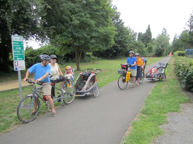
On the Line 119/2 RAVeL

Family
")
13 km
‘La Houillère’, the Line 119 RAVeL, is an example for a number of reasons. This is one of the initiatives that led to the creation of the RAVeL as we know it: urban green axis, sustainable development, social action, involvement of various levels of authority. It all comes together to stand out!
The European Greenways Association (EGWA) got it right. In 2002, La Houillère won the European Greenways Award.
Details
The route:
The ‘La Houillère’ route follows its own safe path on the Line 119 RAVeL.
Surface:
Smooth (mostly asphalt).
Height difference:
Flat or imperceptible incline.
Signs:
Full directional signs are in place along the entire route.
Warnings
Useful info
Start:
Rue Tahon in Gosselies (near Charleroi airport).
Coordinates Lambert 72 : X : 154802 m - Y : 127770 m
GPS coordinates: Latitude: 50°51'55.06'' N - Longitude: 4°26'13.08'' E
Access by car: Numerous car parks in the shopping centres in the surrounding area.
N.B.: Charleroi airport (Brussels-South) is not very far from the start.
Finish:
Intersection with the Sambre RAVeL in Châtelet (near rue de la Poste).
Coordinates Lambert 72 : X : 160909 m - Y : 121967 m
GPS coordinates: Latitude: 50°24'30.58'' N - Longitude: 4°31'19.96'' E
Go to the centre of Charleroi and Charleroi-Sud railway upon arrival: When you get to the Sambre RAVeL, turn right and follow the Sambre for about 6.5 km.
Guides / maps :
- RAVeL map of the Province of Hainaut published by the SPW. This map, called ‘More RAVeL, more pleasure, can be ordered free of charge by clicking here.
Around the route by bike:
- Hainaut by bike – Hainaut Rando routes.
Stage map