Find my route
De Châtelet à Gerpinnes
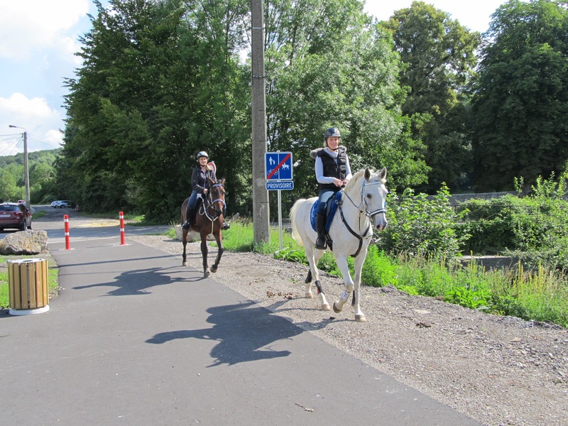
Sur le RAVeL de la Ligne 138

Family
")
8,5 km
Arrive by train at Châtelet station. Get on your bike. Join the edge of the Sambre and cross the river on an old railway bridge towards the Maison de la Poterie in Bouffioulx.
Imagine a château, a march dedicated to Saint-Roch in the Entre-Sambre-et-Meuse region (among the 15 adopted as masterpieces of oral and intangible heritage of humanity). You are in Acoz, a village in the commune of Gerpinnes whose name (alone!) is now linked to the Belgian royal family.
Through meadows and undergrowth, you will reach the centre of Gerpinnes along the Line 138 RAVeL, brought back to life to the great delight of walkers.
Details
The route:
The route follows its own safe path on the Line 138 RAVeL laid out by the commune of Gerpinnes and Châtelet, and the SPW-DGO1-Directorate of Roads of Charleroi.
Surface:
Smooth (mostly asphalt).
Height difference:
Imperceptible incline.
Warnings
Useful info
Starting point:
Rue de la Poste, Châtelet (near the station).
Coordinates Lambert 72: X: 160910 m - Y: 121968 m
GPS coordinates: Latitude: 50°24'30.55'' N Longitude: 4°31'20.00'' E
Arrival point :
Rue lucien François, Gerpinnes.
Coordinates Lambert 72 : X : 161817 m - Y : 114437 m
GPS coordinates: Latitude: 50°20'26.80'' N Longitude: 4°32'05.09'' E
Access by car: Parking possible near the route.
Guides/maps:
- RAVeL map of the Province of Hainaut published by the SPW. This map, called ‘More RAVeL, more pleasure, can be ordered free of charge by clicking here.
Around the route by bike:
- Hainaut by bike – Hainaut Rando routes.
Stage map