Find my route
De Saint-Vaast (La Louvière) à Battignies (Binche)
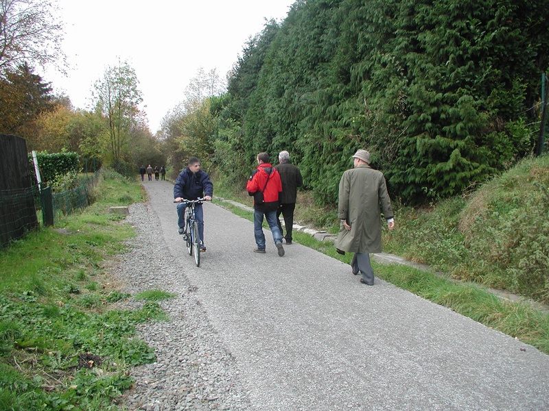
On the Line 422 pre-RAVeL and RAVeL

Family
")
6,5 km
This very endearing route takes you to two different worlds. Line 422 is a link between two leading Hainaut cities. Two cities that differ in their heritage, their architecture and their character. On the one hand, Binche, daughter of the Middle Ages, and on the other La Louvière, daughter of the Industrial Revolution.
Line 422, along an old tramway, runs along both slopes of the Haine. From La Louvière to Trivières and from Péronnes to Binche. The first still has a few industrial remains while the second runs through the heart of the countryside. But they do have one point in common: both cities are home to a famous carnival (one of which was recognised as a Masterpiece of Oral Heritage and Intangible Heritage of Humanity by UNESCO in 2003).
Details
The route:
The route follows its own safe path along the Line 422 (pre-)RAVeL almost entirely.
Surface:
Smooth (mostly asphalt).
Height difference:
Imperceptible incline.
Signs:
Full directional signs are in place along the entire route.
Safety, precautions:
Be careful at the crossroads of the N55 between Saint-Vaast and Trivières and when crossing other roads. When crossing the N55, be sure to obey the instructions and wait for the lights as this is a four-lane regional road.
Warnings
Useful info
Start:
Rue Omer Thiriar 199, Saint Vaast (La Louvière).
Coordinates Lambert 72 : X : 136448 m - Y : 128029 m
GPS coordinates: Latitude: 50°27'46.59' N' Longitude: 4°10'40.34'' E
Access by train: La Louvière-Sud Belgian railway station: leave along the greenway that follows the tracks. Take rue Jean-Baptiste Ballas. Then turn right into rue de Bouvy. Cross the bridge. You are now in rue Omer Thiriar. Go downhill for about 400 metres and the start of the Line 422 pre-RAVeL is on your right.
Finish:
Rue du Coeur Dolent, Battignies (Binche).
Coordinates Lambert 72 : X : 135445 m - Y : 123382 m
GPS coordinates: Latitude: 50°25'16.10'' N - Longitude: 4°09'50.13'' E
Parking: Battignies, opposite the cemetery (+/- 100 m).
Guides/maps:
- RAVeL map of the Province of Hainaut published by the SPW. This map, called ‘More RAVeL, more pleasure’ can be ordered free of charge by clicking here.
Around the route by bike:
- Hainaut by bike – Hainaut Rando routes.
Stage map