Find my route
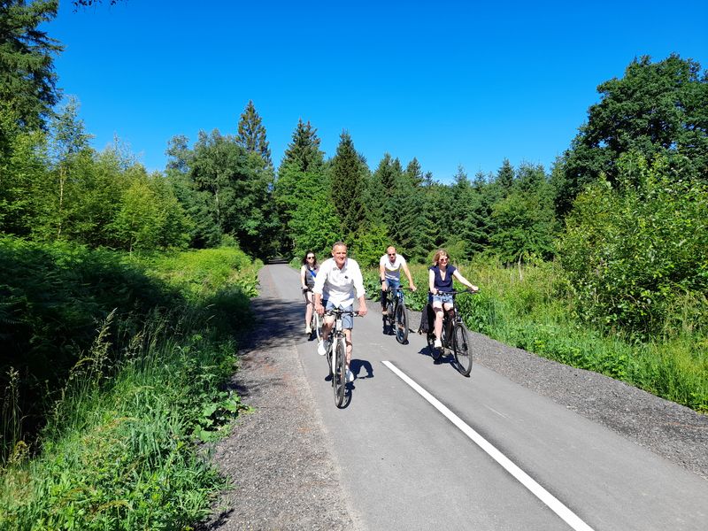
De Spa à Stavelot
On the Line 44A RAVeL

Family
")
23 km
This is just the kind of route we love: interconnection of the Belgian, Luxembourg and ‘Prussian’ networks where the history and nature of the Ardennes are omnipresent. Sports enthusiasts are catered for, too, because this RAVeL runs alongside ‘the world’s most beautiful circuit’ in Francorchamps and crosses one of the biggest hills along the Liège-Bastogne-Liège cycle race.
All to reach Stavelot, former city of the principality, shaped by the Mosan Carnival and the Blancs Moussis, white-caped folkloric characters.
Details
The route:
The route follows its own safe path along the Line 44A RAVeL almost entirely.
Surface:
Smooth (asphalt).
Height difference:
Imperceptible incline.
Signs:
Directional signs present.
Safety, precautions:
Take care when crossing Francorchamps and the Haute-Levée in Stavelot.
Warnings
Useful info
Starting point:
Spa-Géronstère Station, rue du Waux-Hall à Spa.
Coordinates Lambert 72 : X : 256388 m - Y : 132012 m
GPS coordinates: Latitude: 50°29’21.25’’ N - Longitude: 5°52’05.09’’ E
Access by car: a few parking spaces available nearby.
Arrival point :
Connection to the RAVeL of Line 45, near the Haute-Levée (N622) in Stavelot.
Coordinates Lambert 72 : X : 260954 m - Y : 121952 m
GPS coordinates: Latitude: 50°23'52.66'' N - Longitude: 5°55'45.97'' E
Access by car: Car parks along rue Thier de Liège in Stavelot (access via the Haute-Levée).
Guides/maps:
- RAVeL map of the Province of Liège published by the SPW. This map, called ‘More RAVeL, more pleasure’, can be ordered free of charge by clicking here.
Around the route by bike:
Stage map