Find my route
De Neupont (Wellin) à Porcheresse
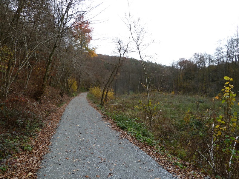
On the Line 518 RAVeL and pre-RAVeL

Medium
")
11 km
From this route, you follow the Lesse, a serene, enchanting river that invites you to soak your feet for a moment.
From Halma, you cross woods and countryside where the numerous picnic areas tempt you to rest and listen to the lapping water. You reach the place called Le Moulin de Daverdisse, a splendid, typical Ardennes building.
This is where you leave the RAVeL and join the pre-Ravel, a slightly more energetic path along the Gembes stream through woods. You leave the pre-Ravel in Gembes and end your trip via a waymarked route along quiet roads leading towards Porcheresse, stronghold of the Walloon clog and your final destination.
Details
The route:
The route partly follows its own safe path on the Line 518 RAVeL and pre-RAVeL. The last part runs along small, quiet roads.
Surface:
RAVeL and municipal roads: smooth, alternately asphalt and concrete. Pre-RAVeL: fine compacted stones.
Height difference:
Flat or imperceptible incline.
Signs:
Full directional signs are in place along the entire route.
Warnings
Useful info
Starting point:
N40, Les Glaumonts in Halma/Neupont (at kilometre 70 connecting Wellin to Transinne).
Coordinates Lambert 72: X: 205016 m - Y: 81946 m
GPS coordinates: Latitude: 50°2'46.39" N - Longitude: 5°8'12.69" E
Arrival point :
Rue du Moulin in Porcheresse.
Coordinates Lambert 72 : X : 240404 m - Y : 74802 m
GPS coordinates: Latitude: 49°58'39.52" N - Longitude: 5°37'45.01" E
Guides / maps :
- RAVeL map of the Province of Luxembourg published by the SPW. This map, called "More RAVeL, more pleasure", can be ordered free of charge by clicking here.
Stage map