Find my route
De Blaton à Bernissart
On the Line 78A RAVeL

Family

3,5 km
This is one of those short lines which would nevertheless explain a great deal.
From Blaton, you skim through the complex canal crossings. You go past the Grande Bruyère sandpit. You have a view that is not to be missed over the region and the Marais d’Harchies with its remarkable Natura 2000 protected area. You think of iguanodons, the local stars following the discovery of iguanodon skeletons here back in 1878, as you head towards Bernissart and its old railway station, the end (already!) of this trip.
Details
The route:
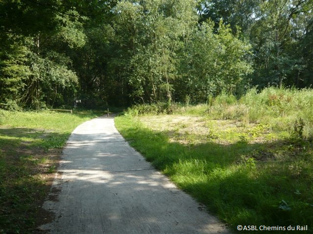
The route follows its own safe path along the Line 78A RAVeL.
Surface:
Smooth, alternately asphalt and concrete.
Height difference:
Flat.
Signs:
Full directional signs are in place along the entire route.
Warnings
Useful info
Starting point:
Rue du Mont d'Or, Blaton.
Coordinates Lambert 72 : X : 100834 m - Y : 132202 m
GPS coordinates: Latitude: 50°29'54.81'' N - Longitude: 3°40'32.67'' E
Access by Train: Blaton station +/- 2.5 km away.
Arrival point :
Rue Léotard, Bernissart.
Coordinates Lambert 72 : X : 98551 m - Y : 130140 m
GPS coordinates: Latitude: 50°28'47.37'' N - Longitude: 3°38'37.85'' E
Guides/maps:
- RAVeL map of the Province of Hainaut published by the SPW. This map, called ‘More RAVeL, more pleasure’, can be ordered free of charge by clicking here.
- Map of East Wallonie picarde (Western Hainaut) by bike.
Around the route by bike:
- Wallonie picarde (Western Hainaut) by bike.
- Hainaut by bike – Hainaut Rando routes.
Stage map


