Find my route
Boucle de Antoing - Bléharies (Brunehaut)
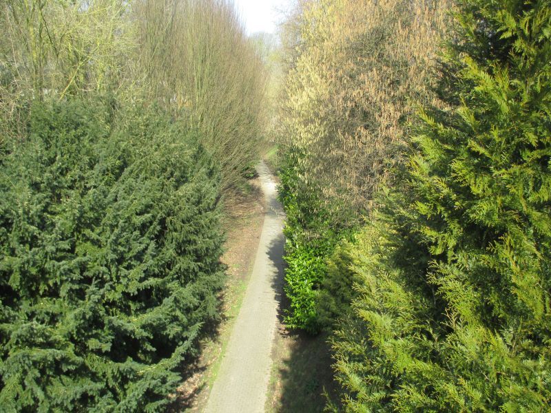
On the RAVeL of Line 88 and the Scheldt

Family
")
14 km
Although the W4 regional route goes through here and runs alongside canals for much of the time from Péronnes onwards, the point where the Scheldt enters Belgium from Bléharies should not be forgotten. So we would like to present a small loop of the RAVeL along this river and a pleasant little line, No 88.
Details
The route:
We leave from Antoing Station on the path set aside for the Line 88 RAVeL.
After the Hollain roundabout, the magnificent Line 88 pre-RAVeL, laid out by the commune of Brunehaut, takes over behind the military cemetery and leads you through the villages of Hollain and Bléharies to the French border.
Just before the end of the pre-RAVeL, take the trail on your left and join the left bank of the Scheldt.
Go along the river on the RAVeL to the railway bridge and then back onto Line 88 towards Antoing to complete your loop.
Surface:
Smooth, alternately asphalt and concrete.
Height difference:
Imperceptible incline.
Signs:
Directional signs on the Line 88 RAVeL. The rest of the way you can follow the waymarks of the Wallonie picarde (Western Hainaut) nodal-point network (use the Map of West Wallonie picarde (Western Hainaut) by bike). You can also refer to the interactive map on our website, the paper RAVeL map of the Province of Hainaut or download the GPX file below to organise your trip better.
Warnings
Useful info
Start and finish:
Rue de la Station in Antoing.
Coordinates Lambert 72 : X : 85070 m - Y : 140197 m
GPS coordinates: Latitude: 50°34'08.02'' N - Longitude: 3°27'07.82'' E
Direct access by train in Antoing railway station.
Parking:
- Antoing, rue de la Station.
- Antoing, rue de Fontenoy: two spaces.
- Hollain, parking possible at the British Cemetery (roundabout).
- Bléharies, rue Wibaut-Bouchart: five spaces.
Guides/maps:
- RAVeL map of the Province of Hainaut published by the SPW. This map, called ‘More RAVeL, more pleasure’ can be ordered free of charge by clicking here.
- Map of East Wallonie picarde (Western Hainault) by bike.
Around the route by bike:
- Wallonie picarde (Western Hainaut) by bike.
- Hainaut by bike – Hainaut Rando routes.
Stage map