Find my route
De Thuin à Erquelinnes (stage 5)
On the Sambre RAVeL

Family
")
19,5 km
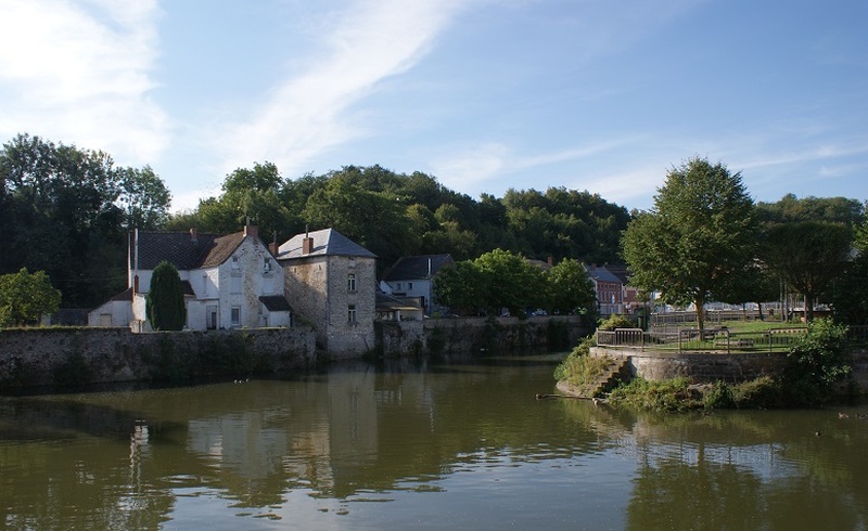
The stage starts not far from Thuin railway station, on the RAVeL along the left bank of the Sambre. Here you can discover much of the history of riverboats and reach Erquelinnes via the locks running along the water.
In a green, restful setting, you pass near the villages of Lobbes, Merbes-le-Château and Solre-sur-Sambre, whose historic centre is of great heritage interest. A little further on, the Erquelinnes marina is the perfect place to relax. Your stage ends just before the border in Erquelinnes, where you will find many shops and a railway station connecting you with all the main cities of Belgium and France.
Details
The route:
From the starting point in Thuin to Erquelinnes, you follow the Sambre RAVeL throughout this stage.
Surface:
Smooth (mostly asphalt and concrete). A short stretch of fine compacted stones.
Height difference:
Imperceptible incline.
Signs:
Specific ‘6 - EV3 - Sambre RAVeL’ directional signs are in place along the entire route.
Warnings
Useful info
Start:
Chemin du Halage 6530 Thuin.
Coordinates Lambert 72 : X : 144165 m - Y : 114545 m
GPS coordinates: Latitude: 50°20'30.62" N - Longitude: 4°17'12.21" E
Access by Train: Thuin Station, Rue de la Gare/Rue de Bethlehem at 6530 Thuin.
Return or continue by train: From Erquelinnes railway station you can reach the centres of Charleroi in Belgium and Maubeuge in France.
Rest area:
Lobbes, Erquelinnes marina.
Guides/maps:
- RAVeL map of the Province of Hainaut published by the SPW. This map, called ‘More RAVeL, more pleasure’ can be ordered free of charge by clicking here.
Variants:
- From Erquelinnes you can continue in France, following the Sambre greenway and the EV3 to Jeumont (1 kilometre) and Maubeuge (13 kilometres) in total safety.
Stage map