Find my route
De Bastogne à Martelange (stage 5)
On the RAVeL lines 163 and 618

Family
")
26 km
This stage takes you through many villages in the Pays de Bastogne region and the idyllic valleys of the Strange and the Sûre rivers set largely in a Natura 2000 protected area. You follow two sections of the old 163 and 618 railway lines, now laid out as RAVeL paths, which once linked Bastogne to Libramont on the one hand and Bastogne to Martelange, at the gates of the Grand Duchy of Luxembourg, on the other.
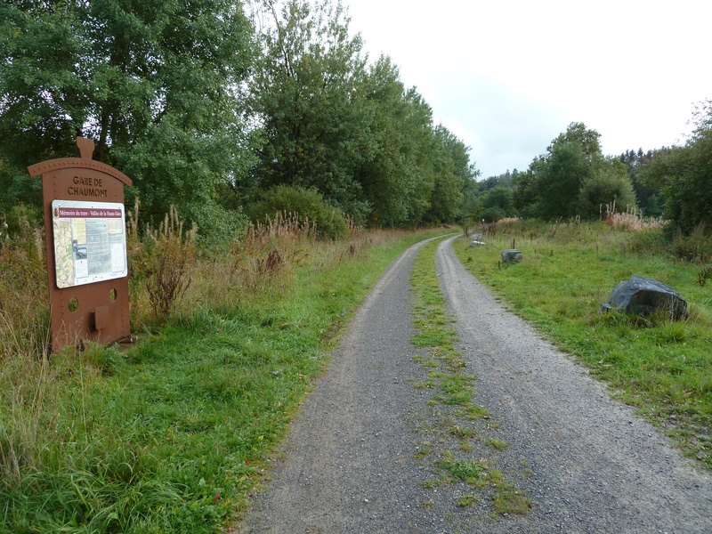
In the commune of Fauvillers, educational ‘Tram Remembrance’ panels in the shape of the front of a locomotive bear the name of the old tram stops as well as local and historical information.
The route rises and falls at first before ending in the peace and quiet of an Ardennes valley.
When you reach Martelange, you may decide to continue on towards Redange, Arlon and Luxembourg city on the cycling routes network of the Grand Duchy.
Details
The route:
Starting from Bastogne-Sud railway station, the route follows the pre-RAVeL of the old 163 railway line towards Sibret for 1.8 km. In the Isle-le-Pré district you leave the pre-RAVeL and turn left onto a series of minor country roads leading to the villages of Assenois. In the centre of this village, turn left towards the RAVeL of the old local railway line 618 which goes through Salvacourt, Hompré, the magnificent site of the Strange lakes, where you will be tempted to idle, Hollange, Strainchamps, Bodange, Wisembach and Radelange before arriving at the border town of Martelange.
Surface:
Asphalt.
Height difference:
On the RAVeL, flat. On the connecting routes, slightly hilly.
Signs:
Specific W9 directional signs are in place along the entire route.
Safety, precautions:
Caution is needed when crossing roads.
Connections:
- In Martelange, you can turn onto the EV5 by joining the national cycling routes network of the Grand Duchy of Luxembourg in order to reach Redange, Arlon or Luxembourg city. Click here to see the detailed description.
Warnings
Useful info
Start:
Bastogne, place de la Gare (former Bastogne-Sud train station).
Coordinates Lambert 72 : X : 246142 m - Y: 77378 m
GPS coordinates: Latitude: 49° 59' 59'' N - Longitude: 05° 42' 35'' E
Access by car: N4 or E25, then N84 for two kilometres to the centre. Then turn right onto the N85 towards Neufchâteau. After 250 metres, turn right into avenue de la Gare. The railway station is 200 metres further on.
Once you have parked, opposite the station, turn left and then right. Click here to see the detailed description of the rest of the route.
Finish:
Martelange, sports centre car park.
Coordinates Lambert 72 : X : 247925 m - Y : 58696 m
GPS coordinates: Latitude: 49°49'54''N - Longitude: 5°43'48''E
Rest areas:
Strange lakes in Hompré (for patrons only), Tannerie park upon arriving in Martelange (behind the sports centre).
Guides/maps:
- RAVeL map of the Province of Luxembourg published by the SPW. This map, called ‘More RAVeL, more pleasure’, can be ordered free of charge by clicking here.
- For the PC (Luxembourg national cycle paths), see the map ‘Luxembourg By Cycle’ from the association LVI, the Luxembourg cycling initiative. https://www.lvi.lu/
Stage map