Find my route
De Liège à Maastricht (NL) (stage 5)
On the RAVeL of the Meuse and the Albert canal

Family
")
25 km
Starting from Liège on the right bank of the Meuse, you leave behind you the slopes of the Citadel which provide a spacious green area for walkers right in the centre of the city, remembering its historic centre, the Carré district and the countless museums. Just before the Dutch border, you cross Visé, the city of the goose, where you can admire the Ferme du Temple, a farm built by the Templars in the 13th century.
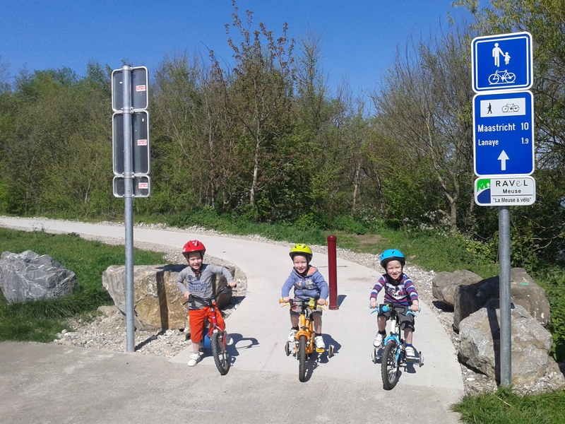
A little before the border, you soon arrive at the Lanaye lock complex. Thanks to the new wide lock, 9,000-tonne boats can now pass between the inland waterway networks of Belgium and the Netherlands. On your right, the Frayères de Lanaye natural site is the perfect place to relax. On your left is the tranchée de Caster, a wide cut through the limestone at the foot of the Montagne Saint-Pierre nature reserve. It is worth mentioning that in May 1940, the German troops entered Belgium through this region. The marks of this invasion are still clear to see in the forts of Eban-Emael and Aubin-Neufchâteau.
Details
The route:
From the time you leave Liège at the bottom of the footbridge in the Outremeuse district to the border with the Netherlands, the stage runs along its own site. It follows the Meuse RAVeL in some places and the Albert canal RAVeL in others.
Surface:
Mostly smooth. Alternately asphalt and concrete.
Height difference:
Flat.
Signs:
Specific ‘The Meuse by bike’ directional signs are in place along the entire stage.
Connections:
- At the Belgian-Dutch border in Petit-Lanaye, ‘The Meuse by bike’ route continues into the Netherlands towards Maastricht following the LF-Maasfietsroute.
Warnings
Useful info
Start:
Foot of the Saucy footbridge in Liege, Quai Van Beneden, on the right bank of the Meuse.
Coordinates Lambert 72 : X : 235583 m - Y : 148525 m
GPS coordinates: Latitude: 50°38'27.87" N - Longitude: 5°34'43.44" E
Access by Train: Liège-Guillemins SNCB railway station.
Pay car parking near the starting point.
Rest area:
L’île Robinson in Visé (at the Visé harbour master's office, go along the Meuse for a while towards Visé bridge. L’île Robinson leisure site is just after you go under the Visé bridge).
Guides/maps:
- RAVeL map of the Province of Liège published by the SPW. This map, called ‘More RAVeL, more pleasure’, can be ordered free of charge by clicking here.
Around the route by bike:
- In Visé and beyond as far as Maastricht, connection to the nodal-points cycling networks of the Lower Meuse, Belgian Limburg and Dutch Limburg.
- Two cycling loops of about 30 kilometres start from Visé: the Pear Tree ride and the Cherry Tree ride.
Stage map