Find my route
De Hannut à Huccorgne (Wanze)
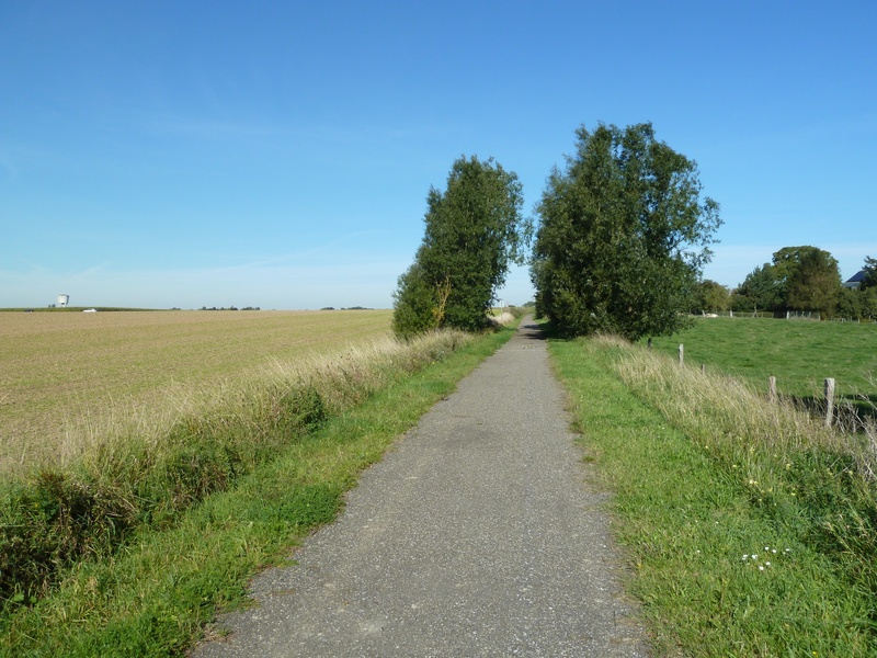
On the Line 127 RAVeL

Family
")
17,5 km
You start from Hannut, an important city in the medieval Duchy of Brabant. You follow the RAVeL for a trip through the heart of the Hesbaye. You cross fields of cereal crops and groves, going through Villers-le-Peuplier and Avennes to Braives in the Burdinale-Mehaigne nature park.
Outstanding railway heritage is highlighted all along this route (barriers, waymarkers, stopping points, platforms, etc.). Your trip then takes you, still firmly entrenched on the RAVeL, towards your final destination, Huccorgne, a small village full of tiny houses built of local stone, where you can enjoy a well-earned rest beside the gently lapping river.
Details
The route:
The route follows its own safe route on the Line 127 RAVeL.
Surface:
Smooth, asphalt (slightly damaged in places).
Height difference:
Flat or imperceptible incline.
Signs:
Full directional signs are in place along the entire route.
Connections:
- In Hannut, connection to the W2 regional route towards Orp-Jauche and Jodoigne (Line 147 RAVeL via a signposted connecting route) or Waremme (unsignposted connecting route).
- In Hannut, you can also follow the Line 127 RAVeL towards Flanders via Avemas-le-Bauduin and the centre of Landen, where you can join Line 147 towards Lincent.
Warnings
Useful info
Starting point:
rue Roi Albert 1er in Hannut.
Coordinates Lambert 72 : X : 200690 m - Y : 151034 m
GPS coordinates: Latitude: 50°40'3.73" N - Longitude: 5° 5'8.84" E
Arrival point :
Rue Robiewez in Huccorgne.
Coordinates Lambert 72: X: 207187 m - Y: 139639 m
GPS coordinates: Latitude: 50°33'52.82" N - Longitude: 5°10'33.37" E
Guides/maps:
- RAVeL map of the Province of Liège published by the SPW. This map, called ‘More RAVeL, more pleasure, can be ordered free of charge by clicking here.
Around the route by bike:
- The Burdinale-Mehaigne Park by bike: tourisme-burdinale-mehaigne.be/fr/velo
Stage map