Find my route
De Nivelles à Court-Saint-Etienne (stage 2)
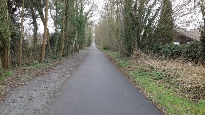
On the Line 141 RAVeL

Family
")
19 km
As you leave Nivelles/Baulers, a slight uphill slope takes you onto a plateau in the middle of a field. You then arrive in Genappe on the site of the old railway station, which is also that of the old sugar refinery that closed in 2004. Until the plant closed, goods trains still ran between Genappe and Ottignies to supply the needs of the sugar refinery.
The settling tanks of the old refinery have now become a state nature reserve. This is one of the main bird sanctuaries in Walloon Brabant. This former industrial site was listed partly as a nature reserve owing in particular to its large and varied bird population. You carry on to Court-St-Etienne, where you pass by the industrial remains of the Henricot plants, which were a centre of metalworking in Walloon Brabant. Continuing along your way, you will come across the ‘Parc à Mitrailles’, a former industrial site now converted to hold cultural and trade events.
Details
The route:
The stage follows its own safe path on the Line 141 RAVeL and pre-RAVeL.
In Court-Saint-Etienne, the way continues along Line 140 Ottignies-Charleroi as far as Ceroux-Mousty railway station.
Surface:
Smooth from Nivelles to Genappe, uneven from Genappe to the edge of the commune of Court-Saint-Etienne, where it becomes smooth again. Uneven on the pathway along L140.
Height difference:
Imperceptible incline.
Signs:
Full directional signs are in place along the entire route.
Safety, precautions:
Take care as you go through Nivelles to Baulers and when crossing busy roads, in particular the chaussée de Nivelles (N237) and the chaussée de Charleroi in Genappe (old level crossing).
Warnings
Useful info
Start:
Nivelles, car park at the old Nord railway station, on avenue Albert et Elisabeth.
Coordinates Lambert 72 : X :147043 m - Y : 143495 m
GPS coordinates: Latitude: 50°36'07.67'' N - Longitude: 4°19'37.12'' E
Access by train: Nivelles railway station: turn right into avenue du Burlet upon leaving the station. Go round the church to the right. Turn right into rue Delvaux. Cross the Faubourg de Bruxelles and take rue Sotriamont which intersects the Line 141 RAVeL. Turn right towards Genappe.
Arrival Point:
Rue Emile Henricot, level crossing at Court-St Etienne railway station.
Coordinates Lambert 72 : X :163923 m - Y :148448 m
GPS coordinates: Latitude: 50°38'47.39'' N - Longitude: 4°33'56.19'' E
Return or continue by train: Ceroux-Mousty Belgian railway station or Ottignies Belgian railway station: In Court-Saint-Etienne, continue along a pathway on Line 140 Ottignies-Charleroi. When you reach the level crossing, do not go across it, but turn left and follow the Railway Station signs, going through the centre of Ottignies.
Guides/maps
- RAVeL map of the Province of Walloon Brabant published by the SPW. This map, called ‘More RAVeL, more pleasure’, can be ordered free of charge by clicking here.
Around the route by bike:
• The Pays de Villers region by bike: http://www.paysdevillers-tourisme.be/fr/coffret-velo
Stage map