Find my route
De Mariembourg (Couvin) à Hastière (stage 2)
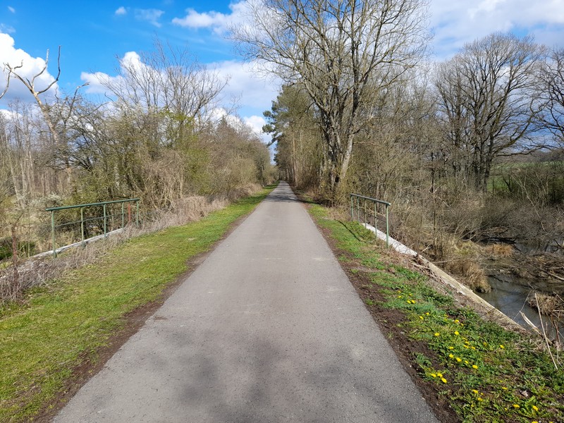
On the Line 156 RAVeL – A short tour in the Fens

Family
")
30 km
This short trip is marked by the seal of the Belle Epoque railway line. It was all established in the 19th century to open up this region at the heart of renowned industrial areas. Between Lille and Thionville, between Charleroi and northern France, everything contributed towards making this region and this line a driving force, a focal point.
Since then, the railway has handed its tracks over to rail tourism, nature lovers and RAVeL users… And that’s great for us!
The Line 156 RAVeL starts in Mariembourg. The distinctive old stronghold of this small city was designed by Jacques Du Broeucq in 1546. It is a centre of interest in the commune of Couvin, notably because the Trois Vallées steam railway company had its head office here.
You will go through the Viroin-Hermeton nature reserve, characterised by alternating wild, picturesque landscapes and sprawling woods. In summer, the setting is very green and permanently gentle. In spring and autumn, colours abound. The long, straight stretches can, of course, sometimes seem monotonous, but there are several rest areas with tables and benches.
You gradually head towards the Meuse valley and one of Europe’s loveliest cycling routes.
Details
Route:
The route follows its own safe path along the Line 156 RAVeL.
Surface:
Smooth (alternately asphalt and concrete).
Height difference:
Ascent of 74 metres Imperceptible incline.
Signs:
Full directional signs are in place along the entire route.
Connection:
Between the old Agimont railway station and Hastière, path shared with The Meuse by bike and the W5 regional route.
Warnings
Useful info
Start:
Place Léopold Roger à Mariembourg (Couvin).
Coordinates Lambert 72 : X : 161105 m - Y : 87186 m
GPS coordinates: Latitude: 50°05'44.87'' N - Longitude : 4°31'26.18'' E
Access by train: Mariembourg railway station.
Access by car: car park on site.
Finish:
Place Emile Binet in Hastière.
Coordinates Lambert 72 : X : 182604 m - Y : 100641 m
GPS coordinates: Latitude: 50°12'57.45'' N - Longitude: 4°49'32.04'' E
Access by car: car park on site.
Rest areas:
There are several rest areas along the way, including one with barbecue facilities in Doische.
Guides/maps:
- RAVeL map of the Province of Namur published by the SPW. This map, called ‘More RAVeL, more pleasure’, can be ordered free of charge by clicking here.
Around the route by bike:
• Entre-Sambre-et-Meuse nodal-points cycling route network.
Stage map