Find my route
De Bastogne à Wiltz (L)
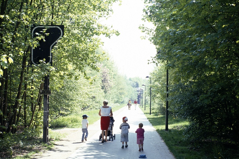
On the Line 164 RAVeL

Family
")
19 km
This superb trip starting in Bastogne and alternating between woods and meadows, rural areas and deep valleys invites you to make your way along the Wiltz, a water course with a variety of faces, now wild torrent, now quieter river with a multitude of small bridges and wooden walkways.
The four illuminated tunnels along the old railway line make this an unusual route. You leave Belgium after nine kilometres at Benonchamps and enter the Grand Duchy of Luxembourg where you continue along the Wiltz cycle path (PC 20) for ten kilometres to your destination at an altitude of 318 metres.
Details
The route:
The route follows its own safe path on the RAVeL in Belgium and on a greenway in the Grand Duchy of Luxembourg.
Surface:
Smooth, alternately asphalt and concrete.
Height difference:
Flat or imperceptible incline.
Signs:
Full directional signs are in place along the entire route.
Warnings
Useful info
Start:
Departure from the former Bastogne-Sud train station (avenue de la Gare), at the beginning of the RAVeL of Line 163 in the direction of Gouvy, Houffalize and Wiltz.
Coordinates Lambert 72 : X : 246190 m - Y : 77425 m
GPS coordinates: Latitude: 50°00'01.12" N -Longitude: 5°42'37.75" E
Access by car: parking nearby.
Guides/maps:
- RAVeL map of the Province of Luxembourg published by the SPW. This map, called ‘More RAVeL, more pleasure’, can be ordered free of charge by clicking here.
Around the route by bike:
Stage map