Find my route
De Moustier (Frasnes-lez-Anvaing) à Basècles (Beloeil)
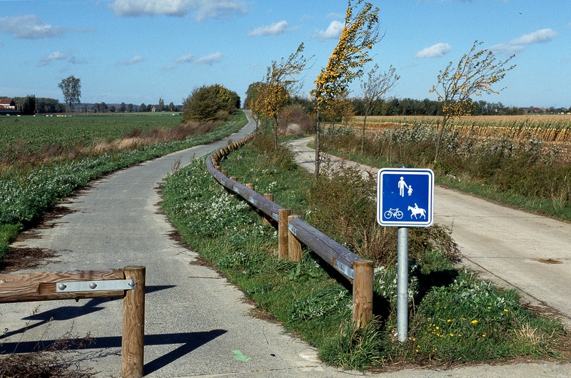
On the Line 86 RAVeL

Family
")
16,5 km
This trip takes you from Leuze-en-Hainaut, an old hosiery city and world-famous brewing centre, to Basècles, a quarrying centre known in particular for its black marble.
This was all it took for a railway line to link the two cities. Line No 86, which was later to become a RAVeL path …. and which we are now recommending to you. It takes you along a route that is rural, sporty and modern, through fields and pastures.
It can be sporty for a number of reasons: because of the long, straight lines swept by the wind and/or bathed in sunlight, but also because there is a Vita fitness trail in the first part of the route.
It can also tackle issues that are major concerns these days: it leads past wind turbines and one of the most efficient energy recovery centres.
Details
The route:
The route follows its own safe path along the Line 86 RAVeL.
Surface:
Smooth, alternating asphalt and concrete.
Height difference:
Imperceptible incline.
Signs:
Full directional signs are in place along the entire route.
Warnings
Useful info
Start:
Rue des Blancs Arbres in Moustier.
Coordinates Lambert 72 : X : 96750 m - Y : 134190 m
GPS coordinates: Latitude : 50°39'02.95'' N - Longitude : 3°37'04.63'' E
Finish:
Coordinates Lambert 72 :
GPS coordinates: Latitude: 50°30'58.50'' N - Longitude: 3°38'45.95'' E
Access by train: Blaton railway station two kilometres away.
Parking: small car park at the old Basècles railway station.
Guides/maps:
- RAVeL map of the Province of Hainaut published by the SPW. This map, called ‘More RAVeL, more pleasure’, can be ordered free of charge by clicking here.
- Map of East Wallonie picarde (Western Hainaut) by bike.
Around the route by bike:
• Wallonie picarde (Western Hainaut) by bike.
• Hainaut by bike – Hainaut Rando routes
Stage map