Find my route
De Souvret (Courcelles) à Roux
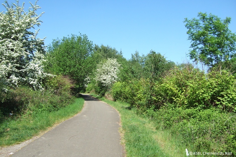
On the RAVeL of Lines 112A and 266

Family
")
6 km
This stretch carries on towards the west of the La Houillère RAVeL (Line 119), which it joins on the bridge over the Charleroi-Brussels canal in Roux.
It will help us - a little - to overcome the industrial image of the Black Country. Of course, we are not going to ignore the slag heaps, unmistakable reminders of this region’s mining past, or the urban side of our sections of the RAVeL in Charleroi, but… starting from the village of Souvret means starting our trip in the countryside, and that’s rather soothing, isn’t it?
Details
The route:
The route follows its own safe path on the RAVeL of Lines 266 and 112A.
Surface:
Smooth (mostly asphalt).
Height difference:
Flat or imperceptible incline.
Signs:
Full directional signs are in place along the entire route.
Warnings
Useful info
Starting point:
Rue des Brûlottes in Souvret.
Coordinates Lambert 72 : X : 148874 m - Y : 126291 m
GPS coordinates: Latitude: 50°26'50.89'' N - Longitude: 4°21'10.40'' E
Arrival point :
Bridge over the Canal-Charleroi-Brussels in Roux.
Coordinates Lambert 72 : X : 152239 m Y : 126598 m
GPS coordinates: Latitude: 50°27'00.82'' N - Longitude: 4°24'00.97'' E
Guides / maps :
- RAVeL map of the Province of Hainaut published by the SPW. This map, called ‘More RAVeL, more pleasure, can be ordered free of charge by clicking here.
Around the route by bike:
- Hainaut by bike – Hainaut Rando routes.
Stage map