Find my route
De Houffalize à Bastogne
On the Lines 613 and 163 RAVeL

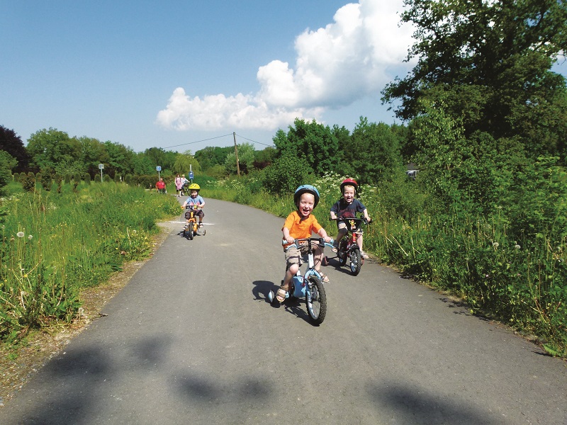
Family
")
21 km
As soon as you leave Houffalize, you enter not only the historical centre of the Battle of the Bulge but also a region dedicated to cycling. This region brimming with history, acknowledged as the capital of mountain biking, will astound you with its deep valleys and mountain atmosphere. You penetrate deep into the green lung of the Belgian Ardennes in total safety on the RAVeL.
You cross dense forest of deciduous and evergreen trees as well as high farming plateaux on your way to Bourcy, a quiet village lying at an altitude of 500 metres.
From there, still in the safety of the RAVeL, you reach Bastogne, the most well-known Belgian city in the USA, because this is where a handful of GIs withstood the German offensive in the winter of 1944. Museums and other memorials are just waiting for you to visit. If you are there in April, you can watch the athletes pass by in quest of victory in the Liège-Bastogne-Liège cycle race.
Details
The route:
The route follows its own safe path on the Lines 613 and 163 RAVeL.
Surface:
Smooth, asphalt or concrete.
Height difference:
Imperceptible incline.
Signs:
Full directional signs are in place along the entire route.
Warnings
Useful info
Starting point:
Rue Ol Fosse d'Outh in Houffalize.
Coordinates Lambert 72 : X : 252238 m - Y : 91838 m
GPS coordinates: Latitude: 50° 7'43.87" N - Longitude: 5°47'55.31" E
Access by car : Signposted link to the center of Houffalize where it is easy to park.
Arrival point :
Former SNCB railway station of Bastogne-Sud.
Coordinates Lambert 72 : X : 246192 m - Y : 77428 m
GPS coordinates: Latitude: 50° 0'1.23 "N -Longitude: 5°42'37.85 "E
Guides/maps:
- RAVeL map of the Province of Luxembourg published by the SPW. This map, called ‘More RAVeL, more pleasure’, can be ordered free of charge by clicking here.
Around the route by bike:
- The heart of the Ardennes by bike.
- The Pays de Bastogne region by bike.
- The Pays de Vielsalm – Gouvy by bike.
- A loop of about 50 km is described in the document: www.chemindurail.be/doc/Fiche_163.pdf
Stage map