Find my route
Des Lacs de l'Eau d'Heure au Lac du Val Joly (F)
On the Lakes cycling route

Medium
")
31 km
Your trip starts on the edge of Plate Taille lake, a favourite place of water sports enthusiasts, not far from Cerfontaine. You follow a waymarked cycling connection to explore the Botte du Hainaut along quiet, narrow roads. You cross pastureland interspersed with magnificent forests to Froidchapelle, a charming commune that has succeeded in maintaining its rural character over the years.
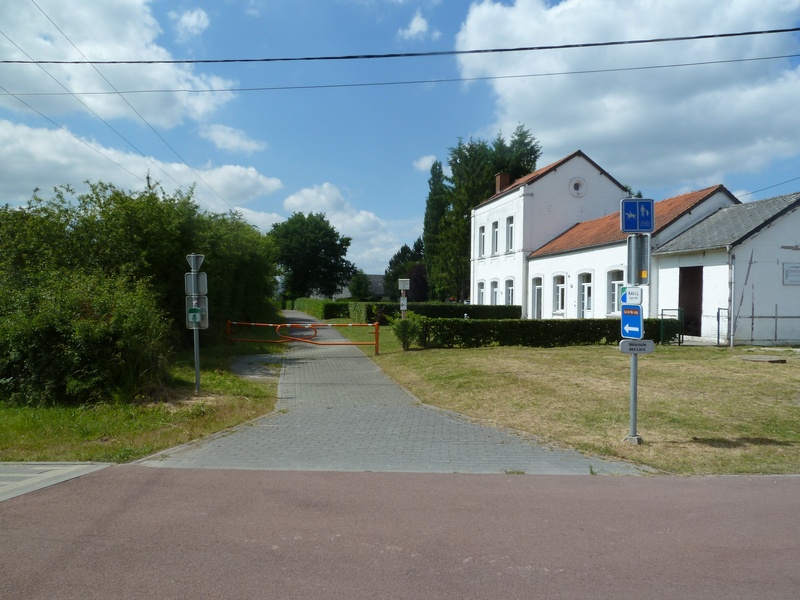
You follow a stretch of the Line 109/2 RAVeL. This takes you as far as Sivry-Rance, where red marble was once quarried, at the heart of the Pays d’entre-lacs region (Eau d’Heure lakes, Val-Joly lake, Virelles lake).
To end your route, you follow another waymarked connecting cycle path that takes you to the Belgian border, passing through the village of Touvent to the French border, heading for Val-Joly lake.
Details
The route:
The route partly follows a signposted/waymarked connecting cycle path and partly its own path on the Line 109/2 RAVeL.
Surface:
Smooth, asphalt, except in Sautin where you will follow two short stretches of greenway on compacted fine gravel.
Height difference:
Slightly hilly route.
Signs:
Full directional signs with ‘Lakes cycling route’ identifying plate.
Connections:
- From the route, you can join the Eau d'Heure lakes RAVeL.
- Between the old Froidchapelle railway station and Sautin, route shared with the W3 regional route on the Line 109/2 RAVeL.
Warnings
Useful info
Starting point:
Departure near the Adeps center in the south of the Lac de la Plate-Taille.
Coordinates Lambert 72 : X : 148684 m - Y : 96293 m
GPS coordinates: Latitude: 50°10'39.38" N - Longitude: 4°21'1.11" E
Access by car: parking close to the starting point.
End of the section :
Lake of Val-Joly (F).
Coordinates Lambert 72 : X : 133156 m - Y : 89866 m
GPS coordinates: Latitude: 50° 7'11.11" N - Longitude: 4° 7'59.51" E
Guides/maps:
- RAVeL map of the Province of Hainaut published by the SPW. This map, called ‘More RAVeL, more pleasure’, can be ordered free of charge by clicking here.
Around the route by bike:
- Hainaut by bike – Hainaut Rando routes http://www.hainauttourisme.be/loisirs-et-activites/itineraires-thematiques
- Nodal-points network in Hainaut: http://www.1000bornesavelo.be
- Bike rides around the Eau d’Heure lake: www.lacsdeleaudheure.be
- Mountain/trekking bike circuit at Val-Joly lake: www.valjoly.com/les-activites/terrestre/vtt-vtc/
Stage map