Find my route
De Jodoigne à Hannut (stage 3)
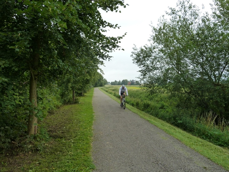
On the minor roads of the Hesbaye and the RAVeL of Lines 142 and 147

Medium
")
24 km
From the starting point in Jodoigne, you follow the RAVeL of Lines 142 and 147 for two-thirds of this stage. You cross the Hesbaye region, where cereal crops are ever present, sometimes interspersed with groves of trees, sometimes edged by peaceful villages.
In Huppaye, you can explore the ‘Ferme de Chantraine’, a former Commandery of the Knights of Jerusalem founded in 1173. You leave the RAVeL at Orp-le-Petit and continue along quiet roads leading to Hannut, an old city once occupied by Roman legions, where the remains of the Roman road between Bavay and Cologne run along the south side.
Details
The route:
Between Jodoigne and Orp-le-Petit you follow the RAVeL of Lines 142 and 147. After this, the route takes quiet roads to Hannut.
Surface:
Smooth (mostly asphalt).
Height difference:
Flat.
Signs:
Directional signs are in place all along the route.
Warnings
Useful info
Starting point:
Connection with the Line 142 RAVeL, Chaussée de Hannut 2 in Jodoigne
Coordinates Lambert 72 : X : 185900 m - Y : 156838 m
GPS coordinates: Latitude: 50°43'15.53" N - Longitude: 4°52'37.74" E
Access by car: parking possible near the starting point.
Guides/maps:
- RAVeL maps of the Provinces of Walloon Brabant and Liège published by the SPW. These maps, called ‘More RAVeL, more pleasure’ can be ordered free of charge by clicking here.
Around the route by bike:
- Brabant Hesbaye by bike: www.hesbayebrabanconne.be/fr/circuits-velo
Stage map