Find my route
De Charleroi à Anhée (stage 6)
On the RAVeL of the Sambre and of Line 150

Medium

49,5 km
This is no short stage. We start in Charleroi, at the Quai de Sambre.
The Sambre! Some of you entered Belgium along this river, on the EuroVelo 3. And along this same river, you leave Hainaut for the Province of Namur.
This path takes you from one major river to another, but not the usual way. You normally reach the Meuse by following the Sambre to Namur. Not so here!
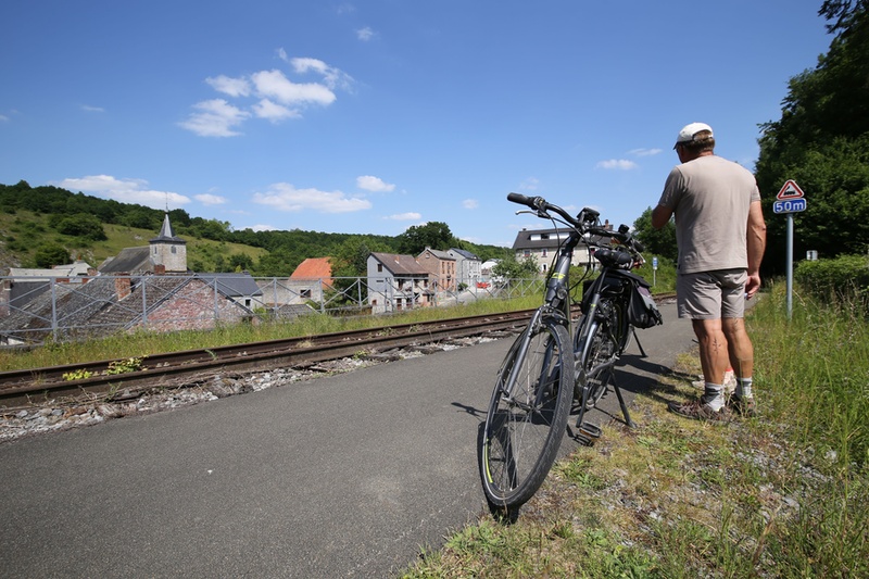
The tributary joins the main river. Come and explore a pathway in the Entre-Sambre-et-Meuse region, characterised by nature, folklore marches and a world-renown cultural and religious reputation.
You then continue alongside railbikes into the picturesque Molignée valley to Anhée, where your journey ends.
Details
The route:
You start on the RAVeL on the right bank of the Sambre at the Quai de Brabant in Charleroi. You head towards Châtelet.
You leave the Sambre in Tamines. You come out at the bridge in rue de la Station and cross the Sambre. Take care, this is not a separate path. You go along the N988 (avenue des Français) and head towards Falisolle. After a small incline of about 900 metres, you turn right onto the N930 towards Fosses-la-Ville. You cross the village of Falisolle and carry on along the N930 for just over two kilometres. You reach the crossroads with the road leading to Aisemont, near the Carmeuse quarries. You turn left and the Line 150 RAVeL is immediately on your right. It takes you to Fosses-la-Ville.
Surface:
Mostly smooth (alternately asphalt and concrete).
Height difference:
Flat or imperceptible incline.
Signs:
Full directional signs with W4 identification panels are in place.
Warnings
Useful info
Start:
Quai de Brabant in Charleroi.
Coordinates Lambert 72 : X : 155030 m - Y : 121685 m
GPS coordinates: Latitude: 50°24'21.74" N - Longitude: 4°26'22.20" E
Access by Train: Charleroi-Sud SNCB railway station.
Guides/maps:
RAVeL maps of the Provinces of Hainaut and Namur, published by the SPW. These maps, called ‘More RAVeL, more pleasure’, can be ordered free of charge by clicking here.
Around the route by bike:
- Hainaut by bike – Hainaut Rando routes: http://www.hainauttourisme.be/loisirs-et-activites/itineraires-thematiques/
- Nodal-points cycling network of Entre-Sambre-et-Meuse: http://www.1000bornesavelo.be
Stage map


