Find my route
De Hoegaarden à Namur (stage 1)
On the Line 142 RAVeL

Family
")
40 km
You start your trip as you leave the village of Hoegaarden, in Flanders, well-known for its famous white beer. This spot marks the start of the RAVeL along the old No 142 railway line which follows its own path throughout the stage on the edge of Walloon Brabant and the Hesbaye.
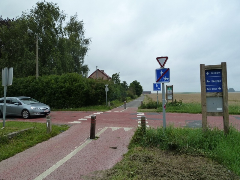
You cross the villages of Zétrud-Lumay, the first one in Wallonia, Saint-Remy-Geest, which stands on a fairly high plateau overlooked by its church dating from 1768, and Saint-Jean-Geest, set in the midst of very fertile fields. Jodoigne, an old medieval city, lies ahead of you, with the 12th-century Church of Saint Medard, the architectural gem of the city.
You carry on in peace and quiet towards Ramillies and Eghezée, passing Hesbaye farms, chapels and potales or niches containing a religious statue. Eghezée, with its museum of rural life, which immerses you in the region’s main activity, offers to tickle your taste buds as you savour its famous Upignac duck foie gras. Along your way, you will pass through fields of wheat, beetroot crops, groves and typical small villages as you head towards Namur, the capital of Wallonia.
The city of Namur, the gateway to the Ardennes, is a multi-faceted place. From the Citadel, overlooking the confluence between the Sambre and the Meuse, masterpiece of Vauban, the military architect of Louis XIV, to its historic centre, the art of good living is everywhere.
Details
The route:
From Hoegaarden to the finish in Namur, the stage follows its own path on the Line 142 RAVeL.
Just before the end of Line 142 in Namur, having gone under a road bridge, leave the RAVeL and follow a short greenway on the right between fences along the railway line. A short connecting stretch leads you to the Sambre RAVeL towards the centre of Namur.
Surface:
Smooth (mostly asphalt).
Height difference:
Flat.
Signs:
Full directional signs are in place along the entire route.
Warnings
Useful info
Start:
On the road N221, Stationstraat, nr. 47, in Hoegaarden.
Coordinates Lambert 72 : X : 187520 m - Y : 162601 m
GPS coordinates: Latitude: 50°46'21.67'' N - Longitude: 4°54'2.44'' E
Access by train: From Tirlemont (Tienen) railway station, join the nodal-point network (knooppunten) of the Province of Flemish Brabant on Leuvensestraat and the Grote Markt and follow nodal points No 24, 64, 15 (start of Line 142) and 11 (continues along Line 142).
Guides/map:
- RAVeL maps of the Provinces of Walloon Brabant and Namur published by the SPW. These maps, called ‘More RAVeL, more pleasure’ can be ordered free of charge by clicking here.
Around the route by bike:
- Brabant Hesbaye by bike: www.hesbayebrabanconne.be/fr/circuits-velo
- ‘The Hesbaye by bike’ network in the communes of Eghezée, La Bruyère and Fernelmont: www.eghezee.be/commune/info-tourisme/balades/reseau-hesbaye/reseau-hesbaye.
- The Pays de Namur region by bike: www.namurtourisme.be/pin.php?id=22.
Stage map