Find my route
De Thuin à Chimay
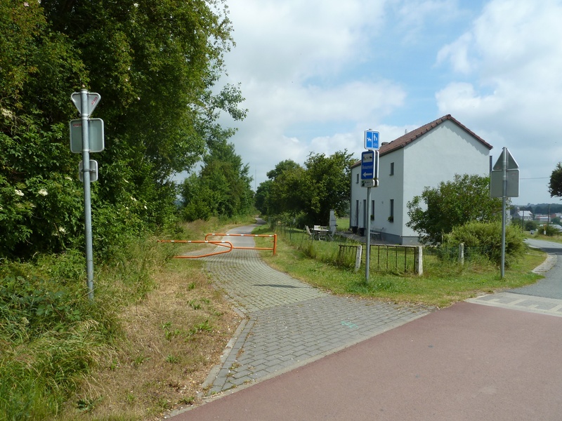
On the Line 109/2 RAVeL

Family
")
45 km
Your route starts in Thuin, in the heart of the Thudinie region and the Sambre valley, where you can admire the hanging gardens or visit the Musée vivant du Tram Vicinal (tram museum). This is a great addition to the RAVeL, which starts just next door on the old Belgian railway line No 109/2. So you’re off for ‘more RAVeL, more pleasure!
Following Line 109/2, you gradually enter the Botte du Hainaut through pastures, fields of crops and small valleys, where silence reigns supreme. You pass peacefully through Thuillies, Ossogne and Strée, villages of brick-built thatched cottages typical of the region. You approach the French border through the bocages of the Hainaut fens and reach Beaumont, a medieval town whose Salamandre Tower still stands proud, recalling its military past.
You then wander through the state-owned forest of Sivry-Rance, a centre for red marble quarrying and the Pays d’entre-lacs region. When you reach Froidchapelle, if you have a sudden desire to bathe, you can pop over to the Eau d’Heure lakes along the Lakes cycling route.
Having crossed what is certainly the greenest region of Hainaut, you finally reach the end of your expedition in the City of the Princes of Chimay, where you will have earned the right to sample, in moderation, a famous Trappist beer, carefully brewed by the monks of the Benedictine abbey of Scourmont.
Details
The route:
The route follows its own safe path along the Line 109/2 RAVeL.
Surface:
Smooth, asphalt.
Height difference:
Flat or imperceptible incline.
Signs:
The route is marked by directional signs indicating the destinations to follow and identifying the Line 109/2 RAVeL.
Connections:
- Common route with the regional route W3.
- In Froidchapelle you can join the Lakes cycling route and follow the directional signs to the Eau d’Heure lakes in Belgium or to Val-Joly lake in France.
Warnings
Useful info
Starting point:
Departure near the Adeps center at the south of the Lac de la Plate-Taille.
Coordinates Lambert 72 : X : 148684 m - Y : 96293 m
GPS coordinates: Latitude: 50°10'39.38" N - Longitude: 4°21'1.11" E
Parking: many parking possibilities nearby.
End of the section :
Lake of Val-Joly (F).
Coordinates Lambert 72 : X : 133156 m - Y : 89866 m
GPS coordinates: Latitude: 50° 7'11.11" N - Longitude: 4° 7'59.51" E
Guides/maps:
- RAVeL map of the Province of Hainaut published by the SPW. This map, called ‘More RAVeL, more pleasure’, can be ordered free of charge by clicking here.
Around the route by bike:
Hainaut by bike – Hainaut Rando routes.
Stage map