Find my route
De Jodoigne à Namur
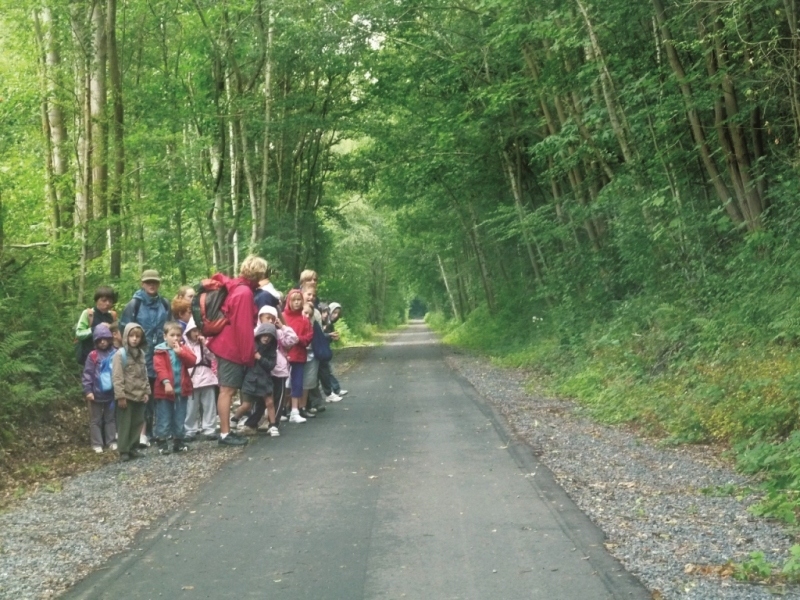
On the Line 142 RAVeL

Family
")
31,5 km
You start your hike in Jodoigne, an old medieval city, whose Saint-Médard church, an architectural jewel of the city, dates back to the 12th century. You carry on in peace and quiet towards Ramillies and Eghezée, passing Hesbaye farms, chapels and ‘potales’ or niches containing a religious statue.
Eghezée, with its museum of rural life, which immerses you in the region’s main activity, offers to tickle your taste buds as you savour its famous Upignac duck foie gras. Along your way, you will pass through fields of wheat, beetroot crops, groves and typical small villages as you head towards Namur, the capital of Wallonia.
The city of Namur, the gateway to the Ardennes, is a multi-faceted place. From the Citadel, Vauban’s masterpiece, overlooking the confluence of the Sambre and Meuse rivers, to its historic centre, the art of good living is all around.
Details
The route:
From Jodoigne to the finish in Namur, the route follows its own path on the Line 142 RAVeL.
Surface:
Smooth (mostly asphalt).
Height difference:
Flat or imperceptible incline.
Signs:
Full directional signs are in place along the entire route.
Warnings
Useful info
Starting point:
Intersection of the RAVeL and the Chaussée de Hannut in Jodoigne.
Coordinates Lambert 72 : X : 185899 m - Y : 156834 m
GPS coordinates: Latitude: 50°43'15.41" N - Longitude: 4°52'37.67" E
Access by car: Easy parking near the start.
Guides/maps:
- RAVeL maps of the Provinces of Walloon Brabant and Namur published by the SPW. These maps, called ‘More RAVeL, more pleasure’, can be ordered free of charge by clicking here.
Around the route by bike:
- Brabant Hesbaye by bike: www.hesbayebrabanconne.be/fr/circuits-velo.
- ‘The Hesbaye by bike’ network in the communes of Eghezée, La Bruyère and Fernelmont: www.eghezee.be/commune/info-tourisme/balades/reseau-hesbaye/reseau-hesbaye.
- The Pays de Namur region by bike: www.namurtourisme.be/
Stage map