Find my route
De Ligny (Sombreffe) à Perwez (stage 1)
On the Line 147 RAVeL

Family
")
23 km
You start your trip from the old Ligny Sud railway station, not far from the battlefield where the French Emperor, Napoleon I, won his last victory.
Just before the village of Sombreffe, sections of rails and points placed on sleepers can still be seen over a distance of about a hundred metres. These are the last witnesses of the activity on the line. A rail connection here served a grain storage warehouse.
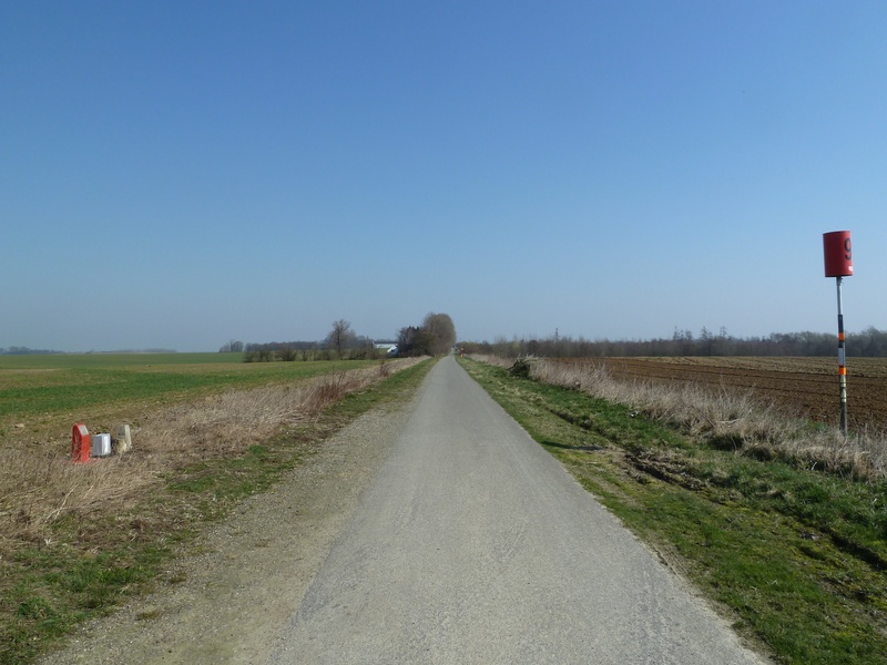
Line 147, which is very carefully plotted, then runs as far as Gembloux where a fine curve takes you to the station car park. After passing through Gembloux, the route becomes peaceful again. The way leads straight to Perwez. The landscapes are open and restful. Everything encourages you to carry on exploring.
Details
The route:
The way leads along its own safe path on the Line 147 RAVeL, except when you pass through Gembloux and near the old Grand-Leez-Thorembais railway station.
Surface:
From Ligny to Sombreffe, the surface is uneven (fine, compacted stones). From Sombreffe onwards, the surface is smooth asphalt.
Height difference:
Imperceptible incline.
Signs:
Full directional signs are in place along the entire route.
Warnings
Useful info
Start:
Former station of Ligny Sud, rue du Sud (road N273).
Coordinates Lambert 72 : X : 164849 m - Y : 133263 m
GPS coordinates: latitude: 50°30'35.86'' N - longitude: 04°34'41.13'' E
Access by car: car park on site.
Access by train: Ligny railway station. As you come out of the station, take rue du Grand Central. At the end of the road, turn left into rue Emile Vandervelde. The path leading you to the pre-RAVeL is on your left after you have gone under the railway bridge. Distance: 680 m, height difference: 5 m.
Finish:
Perwez, rue de la Station (N243), site of the old railway station.
Coordinates Lambert72 : X : 181301 m - Y : 146190 m
GPS coordinates: latitude : 50°37'31.88 N - longitude :04°48'40.04'' E
Access by car: car park on site.
Rest areas:
Rest areas are available at several points along the way. The main ones are in Sombreffe and Perwez. The latter is accessible on the right coming from Gembloux and has a covered shelter and a playground. The site of the Gembloux orientation table is also worth mentioning.
Guides/maps:
- RAVeL maps of the Province of Namur and Walloon Brabant published by the SPW. These maps, called ‘More RAVeL, more pleasure’, can be ordered free of charge by clicking here.
Around the route by bike:
- Towards the abbeys by bike: http://www.sambre-orneau.be/fr/velo-vers-les-abbayes.
- Cycling circuits in Brabant Hesbaye: http://www.hesbayebrabanconne.be/fr/circuits-velo-hesbaye-brabanconne.
Stage map