Find my route
De Saint-Mard (Virton) à Croix-Rouge
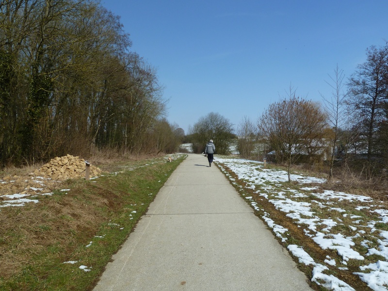
On the Line 155 pre-RAveL and RAVeL

Family
")
14,5 km
Your trip in the heart of the Gaume Lorraine starts in the village of Saint-Mard, a land of basket makers and railway workers attached to its big sister, Virton. Following the RAVeL, after a few kilometres you will cross the small town of Ethe, known as early as the Middle Ages for having the right to ‘strike coins’.
The French stone buildings typical of the region give you the impression of being in the South. You cross the forest where you can enjoy the peace and quiet of this majestic spot and finish your journey in the place called ‘Croix Rouge’ or the ‘Sapinière crossroads’.
Details
The route:
The route partly follows its own path on the RAVeL, as well as quiet roads as it crosses Ethe.
Surface:
Smooth, alternately asphalt and concrete.
Height difference:
Flat or imperceptible incline.
Signs:
Partly signposted route.
Safety, precautions:
Take care as you go through Ethe and when crossing roads along the RAVeL.
Warnings
Useful info
Starting point:
Departure at the beginning of the RAVeL, rue Dessus la Fontaine de Solumont in Saint-Mard.
Coordinates Lambert 72 : X : 234159 m - Y : 28250 m
GPS coordinates: Latitude: 49°33'36.31" N - Longitude: 5°31'54.97" E
Access by Train: Virton SNCB railway station.
Arrival point :
Carrefour dit de la Sapinière, junction of the N87 Habay-Virton (at km 23.9) and the N879 Neufchâteau-Ethe.
Coordinates Lambert 72: X: 236508m - Y: 35867m
GPS coordinates: Latitude: 49°37'41.60 "N - Longitude: 5°33'57.95 "E
Guides/maps:
- RAVeL map of the Province of Luxembourg published by the SPW. This map, called ‘More RAVeL, more pleasure’, can be ordered free of charge by clicking here.
Around the route by bike:
- Around Robelmont: http://www.soleildegaume.be/fr/
Stage map