Find my route
De Olloy-sur-Viroin (Viroinval) à Oignies-en-Thiérache
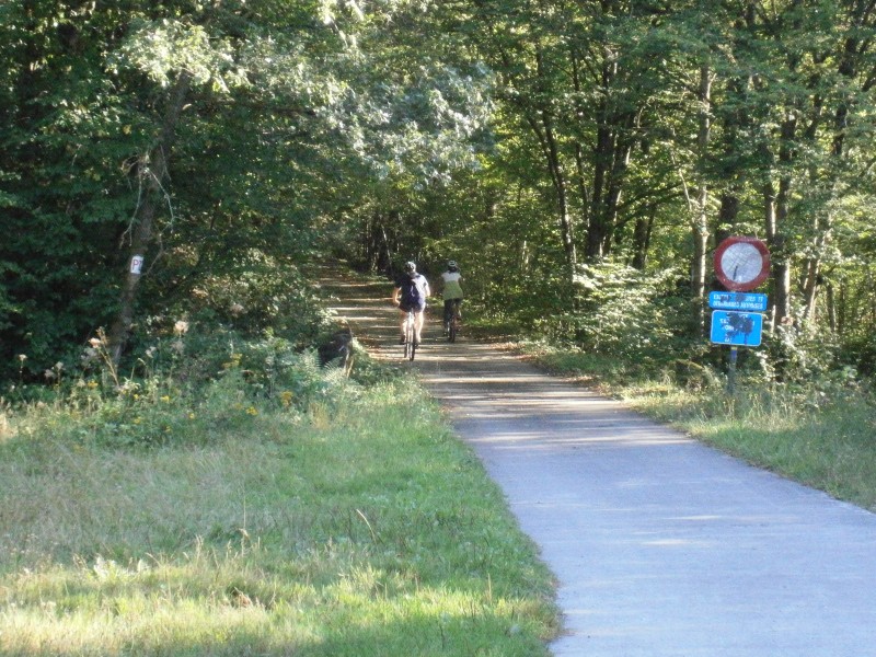
On the Line 523 RAVeL

Family
")
9 km
Not far from France, starting in Olloy-sur-Viroin, formerly protected by a Gallic oppidum, you set out along an old local railway line converted to form a RAVeL through the dense Nismes forest of deciduous and coniferous trees.
You go along the Nouée stream, which here and there feeds into a few small lakes that invite you to daydream in a lovely picnic area with a barbecue provided for your enjoyment.
Your trip ends in Oignies-en-Thiérache, a village set in a clearing at an altitude of 365 metres and known in the past for its slates.
Details
The route:
The route follows its own safe path on the RAVeL.
Surface:
Smooth, asphalt.
Height difference:
Steady 2% gradient. Ascent of 201 metres.
Signs:
Full directional signs.
Connections:
- A connecting route is signposted as far as the Line 156 RAVeL in Matagne-la-Grande.
Warnings
Useful info
Start:
Rue de Baimont in Olloy-sur-Viroin.
Coordinates Lambert 72 : X : 167083 m - Y : 84734 m
GPS coordinates: Latitude: 50°4'24.97" N - Longitude: 4°36'25.56" E
Finish:
Rue de Rocroi in Oignies, Thiérache.
Coordinates Lambert 72 : X : 168525 m - Y : 79164 m
GPS coordinates: Latitude: 50°1'24.54" N - Longitude: 4°37'38.09" E
Guides/map:
- RAVeL of the Province of Namur published by the SPW. This map, called ‘More RAVeL, more pleasure’, can be ordered free of charge by clicking here.
Around the route by bike:
- Bike rides in the Vallées des Eaux Vives region.
Stage map