Find my route
Boucle de Comines-Warneton
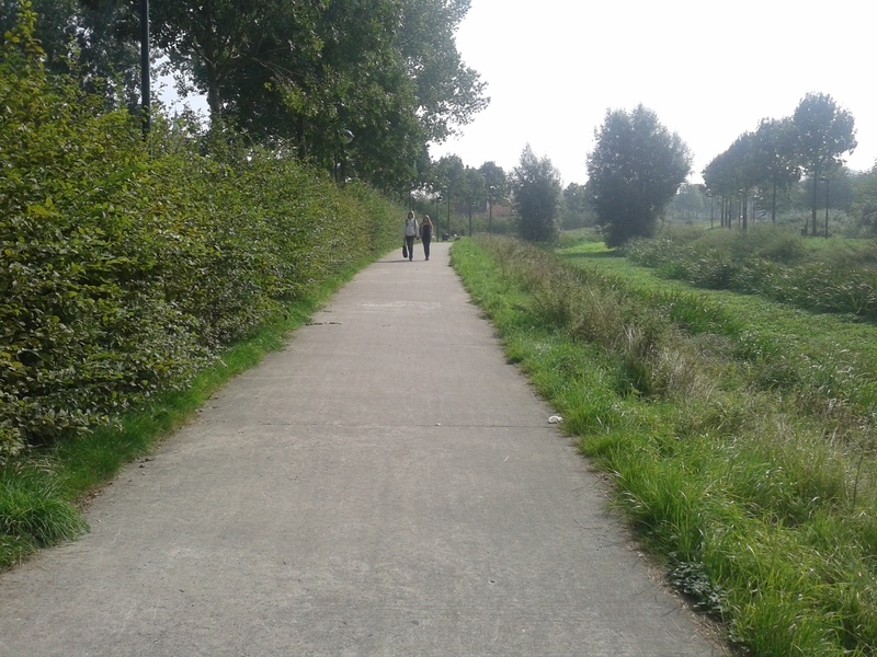
On the RAVeL of Line 69A and La Lys

Family
")
15,5 km
The RAVeL of the Line 69A and La Lys, a small piece of Wallonia between France and Flanders, a small loop between river and railway line... This route shows you the different aspects of the RAVeL. If you wish, you can then prolong the pleasure along La Lys greenway in France or the nodal-points network in Flanders.
Here and there you will see memorials of wars and battles, mainly the First World War, which have left permanently scars. This duty to remember can also guide you along your way.
Details
The route:
The route is almost entirely on its own path along the RAVeL of Line 69A, La Lys and the Comines-Ypres canal. You can follow the numbers of the nodal points (NP) along the Wallonie picarde (Western Hainaut) cycling network to find your bearings.
It starts near Comines railway station, where you take the Line 69A RAVeL towards Warneton and NP 6. At the crossroads with the Comines-Ypres canal (NP 6), turn left. Join the left bank of the Lys at NP 9 and turn right towards France following nodal points 7, 28 and 12. At the Pont-Rouge footbridge (NP 12) which crosses the Lys, leave the water’s edge and join Line 69A taking the route du Pont-Rouge on your right. After 650 metres, turn left into the Chemin du Bon Coin. A hundred and fifty metres further on, you will reach the entrance to the Line 69A RAVeL on your right. Head towards Warneton and Comines following NP 4, 27, 6 and 5 to your starting point.
Surface:
Smooth (alternately asphalt and concrete).
Height difference:
Ascent of 25 metres. Flat or imperceptible incline.
Signs:
Directional signs are in place along the entire Line 69A and on the connecting stretch between the Lys and Line 69A at the Pont-Rouge footbridge. You can follow the waymarks of the Wallonie picarde (Western Hainaut) nodal-point network (use the Map of West Wallonie picarde (Western Hainaut) by bike). You can also refer to the interactive map on our website, the paper RAVeL map of the Province of Hainaut or download the GPX file below to organise your trip better.
Connections:
- In Comines, you can turn onto the Comines-Ypres canal greenway towards Ypres.
- At the Pont-Rouge footbridge, you can continue along La Lys greenway towards Armentières and France.
- Again at the Pont-Rouge footbridge, you can turn onto to the ‘Coulée verte de la Deûle’ towards Lille (F).
Warnings
Useful info
Start and finish:
Rue des Déportés, next to Comines railway station.
Coordinates Lambert 72 : X : 53167 m - Y : 163201 m
GPS coordinates: Latitude: 50°46'16.49'' N - Longitude: 2°59'49.57'' E
Access by train: Comines Belgian railway station.
Access by car: parking nearby.
Rest areas:
There are several rest areas along the way.
Guides/maps:
- RAVeL map of the Province of Hainaut published by the SPW. This map, called ‘More RAVeL, more pleasure’, can be ordered free of charge by clicking here.
- Map of West Wallonie picarde (Western Hainaut) by bike.
Around the route by bike:
- Wallonie picarde (Western Hainaut) by bike.
- In Hainaut by bike – Hainaut Rando routes.
Stage map