Find my route
Lignes 47 et 46

Medium

26,5 km
De Sankt-Vith/Saint-Vith à Steinebrück (Saint-Vith) et Lengeler (Burg-Reuland)
From Sankt-Vith/Saint-Vith to Steinebrück (Saint-Vith) and Lengeler (Burg-Reuland)
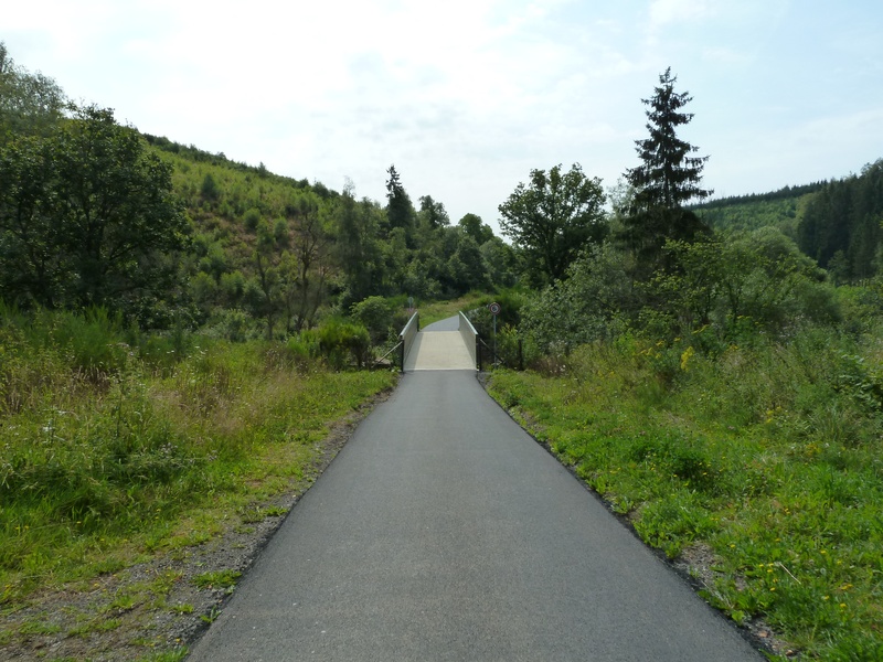
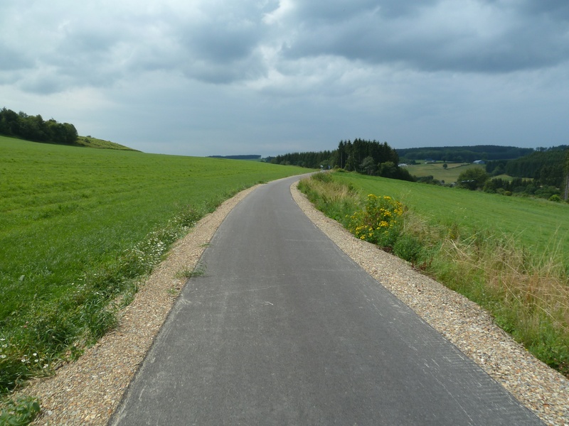
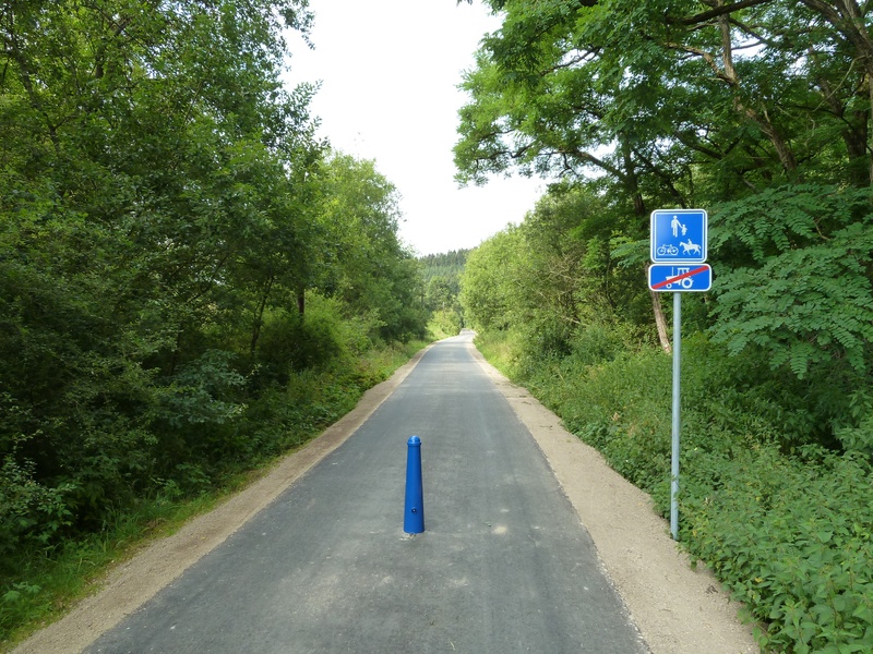
This path takes you through superb, undulating landscapes where, most of the way, the gradients are more gentle than you may have expected (max. 2%). This is the advantage of travelling safely along the RAVeL made up of the old railway lines No 47 and 46, with their viaducts and tunnels.
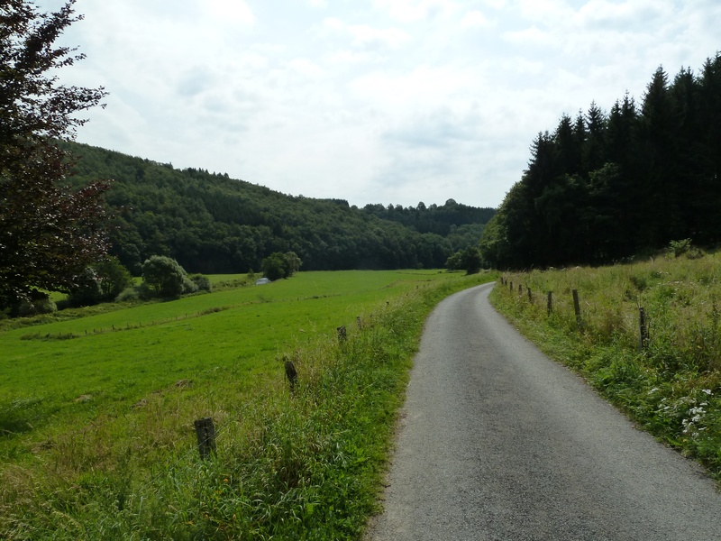
You will appreciate our delightful German-speaking region, characterised here by the forests and bocages of the Our valley in the communes of Saint-Vith/Sankt-Vith and Burg-Reuland.
This route follows the path of the Vennbahn international route, an old railway line set out through three countries which has now become one of Europe's longest and most beautiful greenways. The Vennbahn is very popular among soft tourism enthusiasts and has its own website: www.vennbahn.eu
Interactive Route Map


Route Stages : Lignes 47 et 462
De Sankt-Vith/Saint-Vith à Steinebrück (stage 1)
On the RAVeL of Lines 47 and 46
Starting in Saint-Vith, a commune that has been tossed from one side of the border to the other by the vagaries of history, this stage takes you towards the romantic Our valley, nestling among the massifs of the Eifel and the Ardennes. You pass through the charming village of Neidingen and the stop of the old Lommersweiler railway station before reaching Steinebrück on the Belgian-German border.
De Sankt-Vith/Saint-Vith à Steinebrück (Saint-Vith) et Lengeler (Burg-Reuland) (stage 2)
From Steinebrück (Sankt-Vith/Saint-Vith) to Lengeler (Burg-Reuland)
Starting in Steinebrück, this stage takes you to the romantic Our valley, among the massifs of the Eifel and the Ardennes. You soon leave the Line 46 RAVeL and cross the Belgian-German border towards Hemmeres.
Returning to Belgium via the village of Auel, in the distance you will see the ruins of the Burg-Reuland fortress, the high point of this stage, which has overlooked the region since the 12th century.


