Find my route
De Sankt-Vith/Saint-Vith à Steinebrück (stage 1)
On the RAVeL of Lines 47 and 46

Family
")
8,5 km
Starting in Saint-Vith, a commune that has been tossed from one side of the border to the other by the vagaries of history, this stage takes you towards the romantic Our valley, nestling among the massifs of the Eifel and the Ardennes. You pass through the charming village of Neidingen and the stop of the old Lommersweiler railway station before reaching Steinebrück on the Belgian-German border.
Details
The route:
From the site of the old Saint-Vith/Sankt-Vith railway station, you follow the Line 47 RAVeL for 800 metres and then you are directed left on small roads as far as Neidingen. Take care not to miss a panel at each crossroads.
As you come out of Neidingen, take the Line 47 RAVeL again.
After the site of the old Lommersweiler railway station, stay on your left on the Line 46 RAVeL as far as the end of this stage in Steinebrück.
Surface:
From the start in Saint-Vith to Steinebrück, the route is largely smooth (asphalt) with short uneven stretches (fine, compacted stones).
Height difference:
Imperceptible incline.
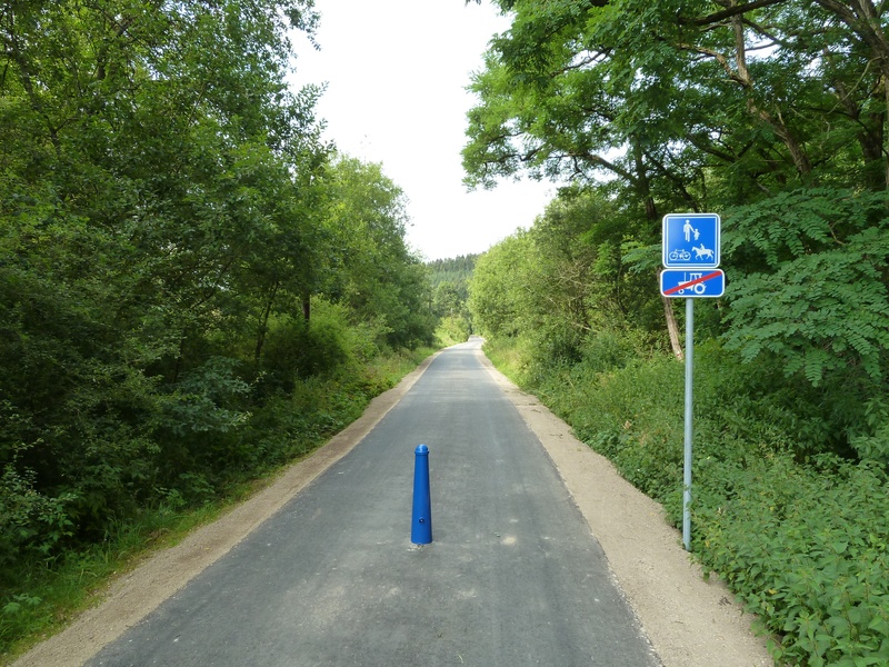
Signs:
The entire route is marked by specific ‘Line 47 - Vennbahn RAVeL’ and ‘Line 46 RAVeL’ directional signs.
Safety, precautions:
Take care when crossing roads.
Connections:
- Stage largely shared with the Vennbahn international route and the W9 regional route.
- At the border in Steinebrück, connection with the Eifel-Ardennen Radweg cycling route to Prüm (D).
Warnings
Useful info
Start:
Saint-Vith/Sankt-Vith, ‘Triangel’ cultural centre (site of the old railway station), Vennbahnstraße 2, 4780 Saint-Vith.
Coordinates Lambert 72 : X : 275463 m - Y : 109230 m
GPS coordinates: Latitude: 50°16'50.50'' N - Longitude: 06°07'45.13'' E
Parking: Large car park nearby.
Arrival:
Steinebrück, Saint-Vith/Sankt-Vith, along the N646, under the bridge over the E42 motorway.
Coordinates Lambert 72 : X : 279450 m - Y : 104555 m
GPS Coordinates: Latitude: 50°14'16.13'' E - Longitude: 06°11'0.68'' N
Parking is possible on arrival.
Rest area:
Lommersweiler.
Guides/maps:
- RAVeL map of the Province of Liège published by the SPW. This map, called ‘More RAVeL, more pleasure’ can be ordered free of charge by clicking here.
- All documentation can be obtained via the ATEB website. In, particular, a map to a scale of 1/100,000 is available which gives details of the path followed by the Vennbahn and indicates the connections with other RAVeL routes (Line 48 to Waimes) as well as other connections to the German cycling route and greenways network (Eifel-Ardennen Radweg cycling route to Prüm).
Around the route by bike:
- VeloTour – Hautes Fagnes-Eifel nodal-points cycling route network.
- A number of loops use part of the route. These loops are included in a box set called ‘Vennbahn Plus’ which contains an illustrated map of the Vennbahn and a leaflet for each loop with a detailed map and tourist information. See https://www.ostbelgien.eu.
Stage map