Find my route
De Dour à Onnezies (Honnelles) (stage 2)
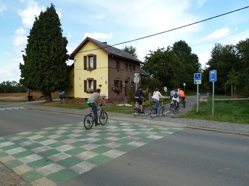
On the Line 98A RAVeL

Family
")
9 km
While you wait to start off towards Roisin, we suggest that you go as far as Caillou-qui-Brique, just past the old Angre railway station, known as the Hauts-Pays.
Far from the images of slag heaps, collieries and the industrial region, this part of the Borinage seems to stand out. Outings to the Hauts-Pays are always charming. How do you see the Borinage other than through the slag heaps? How do you sense the wealth of a landscape and a welcoming region? This trip will show you.
Details
The route:
Your starting point will be the fork in the path between Lines 98 and 98A in Elouges. Here we ignore the signs to Quiévrain and head towards Honnelles... So we go left!
With the RAVeL, you cross roads and a footbridge. Taking care as you go down slightly to the paved road of Wihéries railway station, you reach the RAVeL and continue on your way. Stop for a moment to take in the industrial remains and these majestic wind turbines. A hedge borders your path on either side, leading you towards Audregnies and the wood. To the left, you will see a small road down below which leads to Montignies-sur-Roc. This delightful little village has a castle and a pleasant, tree-filled square. You can see its church. Carry on and cross the chaussée Brunehaut coming from Bavay (F).
Our RAVeL leads through the countryside to Angre. Near Roisin and Caillou-qui-Bique, you will not be the first to have felt its attraction. The poet Émile Verhaeren succumbed to its charms and those of the two Honnelles.
Surface:
Smooth, asphalt.
Height difference:
Virtually flat.
Signs:
Full directional signs are in place along the entire route.
Safety, precautions:
The approach to Wihéries railway station is a little difficult, with cobblestones on one side and a surprising slope on the other.
Connections:
- Path shared with the W1 regional route.
- In Elouges, connection with Line 98, the backbone of the RAVeL in this region of the Borinage.
Warnings
Useful info
Start:
At the crossing with the Line 98 RAVeL in Elouges/Dour, near the crossroads with rue des Andrieux.
Coordonnées Lambert 72 : X : 107075 m - Y : 121041 m
Coordonnées GPS : Latitude : 50°23’55.35’’ N - Longitude : 3°45’53.93’’ E
Finish:
At Caillou-qui-Brique in Angre wood, but you can also stop in rue d'Onnezies, at the old Angre railway station. There are plans to extend the RAVeL as far as Autreppe railway station in order to create a connection with Roisin and Bavay in France.
Coordonnées Lambert 72 : X : 103335 m - Y : 115201 m
Coordonnées GPS : Latitude : 50°20’45.32’’ N - Longitude : 3°42’47.20’’ E
Guides/maps:
- RAVeL map of the Province of Hainaut published by the SPW. This map, called ‘More RAVeL, more pleasure’, can be ordered free of charge by clicking here.
Around the route by bike:
- Hainaut by bike – Hainaut Rando routes.
Stage map