Find my route
De La-Roche-en-Ardenne à Libramont (stage 4)
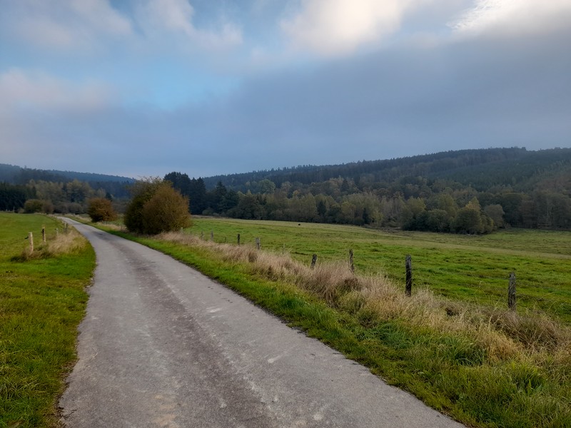
On the minor roads of the Ardennes

Medium
")
48 km
A last look at the mysterious La Roche and you head off through steep-sided valleys and wooded hills towards Erneuville and its vast grassy plateaux. You follow a pleasant route with a gentle slope along the delightful Ry de Bronze.
You cross a multitude of picturesque villages with charming names such as Grainchamps, Tresfontaines, Wyompont, Ortheuville, Lavacherie or Amberloup. Sometimes perched on Ardennes ridges, sometimes nestling at the bottom of the western Ourthe valley, you will love these quiet, rustic places.
Leaving the peaceful, green commune of Sainte-Ode behind, you climb slowly towards Libramont, admiring churches, chapels, calvaries, old washhouses and castles as you go, to an altitude of 500 metres. You finally reach your destination, not far from the indoor Libramont market that welcomes over 200,000 visitors every year during the annual agricultural fair.
Details
The route:
The route runs mainly along quiet minor roads, away from motor traffic.
Surface:
Smooth (mostly asphalt).
Height difference:
Hilly route, but no great difficulty. A slightly longer incline of about three kilometres before reaching Erneuville.
Signs:
Specific W7 directional signs are in place along the entire route.
Warnings
Useful info
Start:
Place du Bronze, La Roche-en-Ardenne.
Coordinates Lambert 72 : X : 236226 m - Y : 97237 m
GPS coordinates: Latitude: 50°10'47.81 "N - Longitude: 5°34'33.67 "E
Rest area:
Wyompont.
Guides/maps:
- RAVeL map of the Province of Luxembourg published by the SPW. This map, called ‘More RAVeL, more pleasure’, can be ordered free of charge by clicking here.
Around the route by bike:
- Cycling route and bike hire in Sainte-Ode: www.sainte-ode-tourisme.be/sainte_ode_fr/bouger/cyclo-vtt.
- La Maison de la Randonnée - GTA Belgique: www.europaventure.be/fr/la-maison-de-la-randonnee-gta-belgique.
Stage map