Find my route
De Mariembourg (Couvin) à Dinant(stage 2)
Sur le RAVeL de la Ligne 156 et La Meuse à vélo

Expert
")
45,5 km
The Line 156 RAVeL starts in Mariembourg. The distinctive old stronghold of this small city was designed by Jacques Du Broeucq in 1546. It is a centre of interest in the commune of Couvin, notably because the Trois Vallées steam railway company had its head office here.
You will go through the Viroin-Hermeton nature reserve, characterised by alternating wild, picturesque landscapes and sprawling woods. In summer, the setting is very green and permanently gentle. In spring and autumn, colours abound. The long, straight stretches can, of course, sometimes seem monotonous, but there are several rest areas with tables and benches.
You gradually head towards the Meuse valley and one of Europe’s loveliest cycling routes, EuroVelo 19 - Maas cycle route.
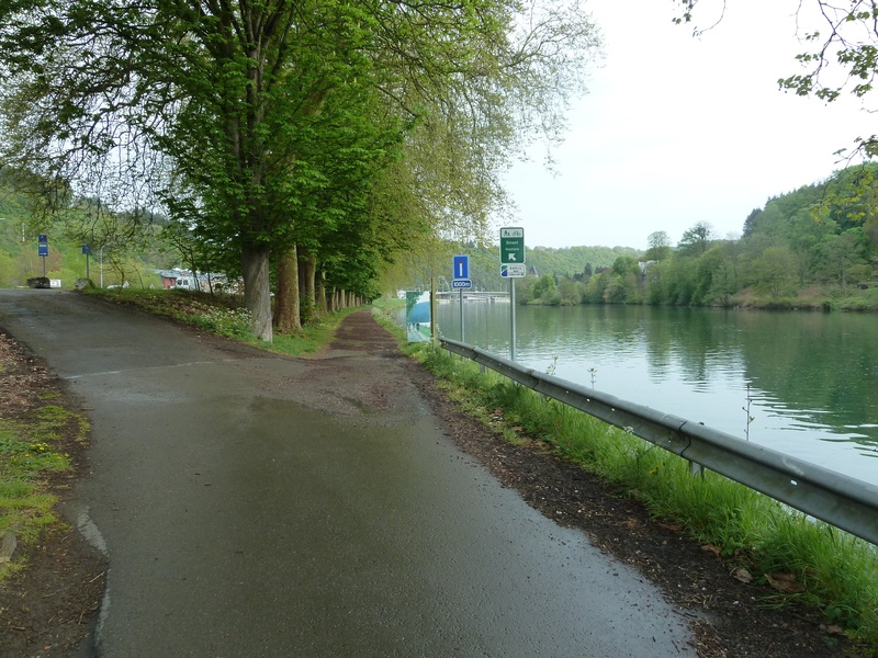
The Meuse RAVeL, the main thread along your ride, takes you through Hastière, a typical Mosan village. As you go round one of the bends in the winding river, you see Waulsort castle, not far from the prestigious Freyr castle, surrounded by its famous gardens and rocks, a mountain climbing centre in Wallonia.
Further downstream, after passing below the cliffs of the Bayard, Dinant and its citadel tempt your taste buds, inviting you to savour the famous couques (honey biscuits) as you enjoy a boat trip on the Meuse.
Details
The route:
The Line 156 RAVeL runs along its own path as far as Hermeton. After a short connecting stretch on local roads, the RAVeL on the left bank of the Meuse takes you to Hastière. You have to cross the bridge and follow a small local road on the right bank of the Meuse to the Waulsort lock. Here you return to the left bank and take the N96 regional road for about seven kilometres to the Anseremme lock. You cross this lock back to the right bank of the Meuse and the RAVeL that leads you to the centre of Dinant.
Surface:
Smooth (mostly asphalt).
Height difference:
Flat.
Signs:
Specific ‘W8’ directional signs are in place along the entire stage. This is very useful, especially for crossing the centre of Dinant and the Meuse at various points.
Safety, precautions:
The section on the N96 regional road is dangerous as the traffic is fairly heavy and fast.
Connections:
- In Matagne-la-Grande, connection with Ligne 523 RAVeL between Olloy-sur-Viroin et Oignies-en-Thiérache.
- In Agimont, connection with the Trans-Ardennes greenway towards Charleville-Mézières and Sedan.
Warnings
Useful info
Start:
Place Léopold Roger à Mariembourg (Couvin).
Coordinates Lambert 72 : X : 161105 m - Y : 87186 m
GPS coordinates: Latitude: 50°05'44.87'' N - Longitude : 4°31'26.18'' E
Access by train: Mariembourg railway station.
Access by car: car park on site.
Rest areas:
There are several rest areas along the way, including two with barbecue facilities in Doische and Waulsort sluice.
Guides/maps:
- RAVeL map of the Province of Namur published by the SPW. This map, called ‘More RAVeL, more pleasure’, can be ordered free of charge by clicking here.
Around the route by bike:
Stage map