Find my route
De Wavre à Namur (stage 4)
From Wavre to Namur

Medium

49,5 km
Starting from Wavre, the capital of Walloon Brabant, this stage takes you along the small rural roads of the Hesbaye plateau. Here you are in the breadbasket of this beautiful region, alternating between opulent fields of wheat and beetroot. You will discover vast areas of open countryside dotted with quiet villages and imposing farms that radiate character.
Be sure to make a symbolic halt in the geographic centre of Belgium, which is just a few steps away from your route: place du Tram in the village of Nil-Saint-Vincent (commune of Walhain).
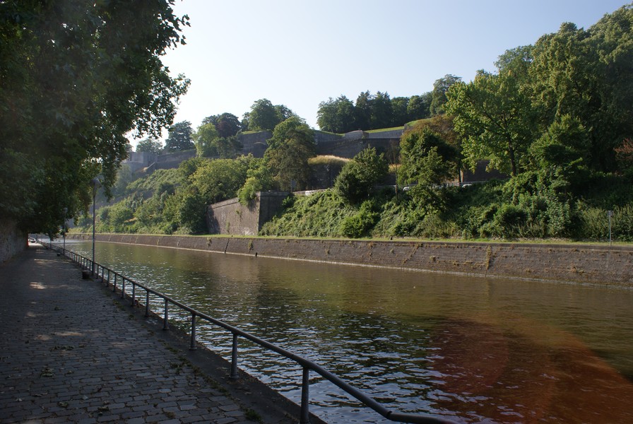
Having wound your way through fields stretching as far as the eye can see, you join the Line 142 RAVeL in Daussoulx. This leads you along a gentle slope to Namur, the capital of Wallonia. The city of Namur, the gateway to the Ardennes, is a multi-faceted place. From the Citadel, overlooking the confluence of the Sambre and the Meuse, masterpiece of Vauban, the great military architect of Louis XIV, to its historic centre, the art of good living is everywhere.
Details
The route:
Between Wavre and Daussoulx, the route runs along country lanes and mainly quiet roads.
Between Daussoulx and Namur, you follow the Line 142 RAVeL which has full directional signs including panels identifying the EV5. Just before the end of Line 142 in Namur, having gone under a road bridge, you leave the RAVeL and follow a short greenway on the right between fences along the railway line. You go through the passage under the railway on your left. When you come out of the little tunnel, you follow the short ramp opposite you and the little road leading you to the RAVeL along the edge of the Sambre. After 1.4 km, turn left towards place Maurice Servais and the centre of Namur.
Surface:
Smooth (asphalt or concrete)
Height difference:
Imperceptible incline or flat.
Signs:
Full directional signs with EV5 identification panels are in place.
Safety, precautions:
This stage consists mainly of stretches along quiet country roads but caution is nevertheless required. The dangerous crossings are indicated by a red triangle in the detailed description.
Connections:
- In Wavre: section shared with the W2 regional route between the start and the crossing with the N268 (chaussée de Louvain). At this point, you can turn onto the W2 route towards Jodoigne.
- At the old Grand–Leez railway station, the route crosses the Line 147 RAVeL which takes you to Gembloux on one side and Perwez and Landen on the other.
- From Daussoulx to Namur along the Line 142 RAVeL, the stage is shared with the W5 regional route. In Daussoulx, you can turn onto the W5 route towards Eghezée, Ramillies and Jodoigne.
- Upon arriving in Namur, Quai de l’Écluse, connection with the EV3 international route and the W6 regional route. Possibility of turning west in the direction of Charleroi.
Warnings
Useful info
Start:
Place de l’Hôtel de Ville, Wavre, intersection of rue de Nivelles and rue du Chemin de Fer.
Coordinates Lambert 72 : X : 166950 m - Y : 156220 m
GPS coordinates: Latitude: 50°42'58.63" N - Longitude: 4°36'31.55" E
Access by train: Wavre Belgian railway station. To reach the starting point from the railway station: with the station behind you in place Henri Berger, turn left into rue des Volontaires for about a hundred metres then right into rue du Chemin de Fer.
Access by car: free parking in avenue des Mésanges. The start is 300 metres away, turning left at the level crossing and taking rue du Chemin de Fer.
Rest area:
At the entrance to Namur.
Guides/maps:
- RAVeL maps of the Provinces of Walloon Brabant and Namur published by the SPW. These maps, called ‘More RAVeL, more pleasure’, can be ordered free of charge by clicking here.
Stage map


